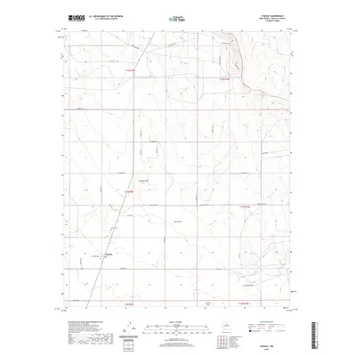
2020 Map of Stanley
USGS Topo · Published 2020About this map
Stanley serves as the focal point of this Santa Fe County landscape, situated where the high plains meet a series of complex ephemeral drainages. The community is marked by its Po and the nearby Stanley Cem, reflecting its enduring presence in this part of New Mexico. The terrain is defined by a network of seasonal watercourses such as Kamradt Draw, Salt Draw, and Gaviso Arroyo, which have dictated the placement of ranch roads and boundaries. Infrastructure in the area is largely defined by cattle ranching and rural navigation, with property access provided by named routes like Zorro Ranch Rd and King Ranch Rd. The presence of the K and R Reservoir highlights the importance of water management in this arid environment, where localized draws like Kinsell Draw and Armijo Draw carve subtle features into the desert floor.
Find a feature on this map
40 named features on this map. Tap any name to fly to it.
Don’t see what you’re looking for? This feature index may not catch every label — zoom into the map to look around manually.
Map Details
Editions of this 2020 Stanley Map
This is the sole edition of this map. No revisions or reprints were ever made.
Other maps of this area

1892 · San Pedro
USGS Topo · 1:125,000

1894 · Lamy
USGS Topo · 1:125,000

1954 · Santa Fe
USGS Topo · 1:250,000

1956 · Edgewood
USGS Topo · 1:62,500

1958 · Santa Fe
USGS Topo · 1:250,000

1958 · Albuquerque
USGS Topo · 1:250,000

1960 · Stanley
USGS Topo · 1:62,500

1961 · Madrid
USGS Topo · 1:62,500

1962 · Albuquerque
USGS Topo · 1:250,000
1963 · Albuquerque
USGS Topo · 1:250,000