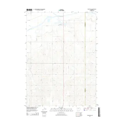
2014 Map of Stanton NE
USGS Topo · Published 2014About this map
The Elkhorn River meanders across the northern reaches of this landscape, carving a wide valley floor characterized by riparian features like Red Fox Lake and Humbug Creek. South of the river, the terrain shifts into a dense network of upland drainage systems, including Rock Cr, Cedar Cr, and Payne Cr, which define the undulating topography typical of this part of Nebraska.
Find a feature on this map
38 named features on this map. Tap any name to fly to it.
Don’t see what you’re looking for? This feature index may not catch every label — zoom into the map to look around manually.
Map Details
Editions of this 2014 Stanton NE Map
This is the sole edition of this map. No revisions or reprints were ever made.
Other maps of this area

1955 · Sioux City
USGS Topo · 1:250,000

1955 · Fremont
USGS Topo · 1:250,000

1957 · Fremont
USGS Topo · 1:250,000

1958 · Sioux City
USGS Topo · 1:250,000

1958 · Fremont
USGS Topo · 1:250,000

1959 · Sioux City
USGS Topo · 1:250,000

1963 · Pilger
USGS Topo · 1:24,000

1963 · Wayne SW
USGS Topo · 1:24,000

1963 · Wisner
USGS Topo · 1:24,000

1963 · Altona
USGS Topo · 1:24,000