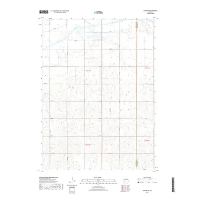
2017 Map of Stanton NE
USGS Topo · Published 2017About this map
The Elkhorn River meanders across the northern reaches of this landscape, its path shadowed by a network of drainage ways including Humbug Creek and Payne Cr. The terrain is defined by a dense grid of rural roads and section lines, with Old Hwy 8 skirting the northern river valley. This 2017 survey captures the intersection of Stanton and Cuming counties, where the township lines of T23N R3E and T23N R4E meet. To the south, the geography becomes increasingly dissected by watercourses like Cedar Cr and Rock Cr, which carve through the high ground. The map reflects a deeply established agricultural survey system, where nearly every section is accessible by labeled corridors such as 838th Ave and 835th Ave, illustrating the modern layout of Nebraska’s northeast ranch and farm lands.
Find a feature on this map
36 named features on this map. Tap any name to fly to it.
Don’t see what you’re looking for? This feature index may not catch every label — zoom into the map to look around manually.
Map Details
Editions of this 2017 Stanton NE Map
This is the sole edition of this map. No revisions or reprints were ever made.
Other maps of this area

1955 · Sioux City
USGS Topo · 1:250,000

1955 · Fremont
USGS Topo · 1:250,000

1957 · Fremont
USGS Topo · 1:250,000

1958 · Sioux City
USGS Topo · 1:250,000

1958 · Fremont
USGS Topo · 1:250,000

1959 · Sioux City
USGS Topo · 1:250,000

1963 · Pilger
USGS Topo · 1:24,000

1963 · Wayne SW
USGS Topo · 1:24,000

1963 · Wisner
USGS Topo · 1:24,000

1963 · Altona
USGS Topo · 1:24,000