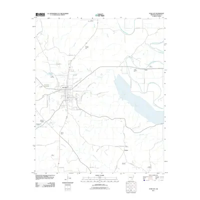
2011 Map of Star City
USGS Topo · Published 2011About this map
Star City serves as the focal point of this Lincoln County survey, situated where numerous local routes converge at the seat of government. The landscape is defined by the winding course of Bayou Bartholomew to the east and the significant expanse of Cane Creek, which feeds into the substantial Steeds Lake. For genealogists and local historians, the sheet is exceptionally detailed with burial sites, including the Mount Nebo Cemetery in the north and the Brockman Cemetery near Calhoun in the south. The area’s aviation and infrastructure are represented by the Star City Municipal Airport and the Star City Lookout Tower. Small settlements like Crigler and Calhoun appear alongside specialized landmarks such as the Frizzell Landing Strip and Chatham Landing Strip, indicating the reliance on private aviation in this rural Arkansas setting.
Find a feature on this map
59 named features on this map. Tap any name to fly to it.
Don’t see what you’re looking for? This feature index may not catch every label — zoom into the map to look around manually.
Map Details
Editions of this 2011 Star City Map
This is the sole edition of this map. No revisions or reprints were ever made.
Other maps of this area

1935 · Feenyville
USGS Topo · 1:62,500

1935 · Varner
USGS Topo · 1:62,500

1935 · Noble Lake
USGS Topo · 1:62,500

1935 · Rotan
USGS Topo · 1:62,500

1948 · Helena
USGS Topo · 1:250,000

1950 · Helena
USGS Topo · 1:250,000

1953 · Greenwood
USGS Topo · 1:250,000

1955 · Helena
USGS Topo · 1:250,000

1956 · Greenwood
USGS Topo · 1:250,000

1959 · Helena
USGS Topo · 1:250,000