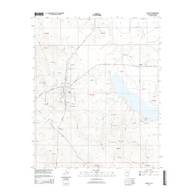
2014 Map of Star City
USGS Topo · Published 2014About this map
Star City serves as the focal point of this 2014 survey, which covers a diverse landscape in Lincoln County where the Arkansas Delta meets the coastal plain. The town's layout is defined by the intersection of Us 425 and Ar 11, with the Star City Municipal Airport and the Star City Lookout Tower marking the southern outskirts. To the east, the extensive waters of Cane-Cr- Lake dominate the terrain, shaped by the drainage of Cane Cr and Dry Fork Cr.
Find a feature on this map
87 named features on this map. Tap any name to fly to it.
Don’t see what you’re looking for? This feature index may not catch every label — zoom into the map to look around manually.
Map Details
Editions of this 2014 Star City Map
This is the sole edition of this map. No revisions or reprints were ever made.
Other maps of this area

1935 · Feenyville
USGS Topo · 1:62,500

1935 · Varner
USGS Topo · 1:62,500

1935 · Noble Lake
USGS Topo · 1:62,500

1935 · Rotan
USGS Topo · 1:62,500

1948 · Helena
USGS Topo · 1:250,000

1950 · Helena
USGS Topo · 1:250,000

1953 · Greenwood
USGS Topo · 1:250,000

1955 · Helena
USGS Topo · 1:250,000

1956 · Greenwood
USGS Topo · 1:250,000

1959 · Helena
USGS Topo · 1:250,000