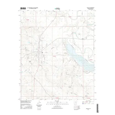
2017 Map of Star City
USGS Topo · Published 2017About this map
Star City serves as the central hub of this Lincoln County landscape, situated near the western edge of the expansive Cane Creek Lake. The terrain transitions from the developed streets of the city to the dense wetlands and tributaries of the Bayou Bartholomew watershed in the east. Local history is deeply etched into the land through numerous family-named burial sites, including Heflin Cem, Bush Cem, and Brockman Cem, which are scattered among the timbered rises and agricultural clearings.
Find a feature on this map
101 named features on this map. Tap any name to fly to it.
Don’t see what you’re looking for? This feature index may not catch every label — zoom into the map to look around manually.
Map Details
Editions of this 2017 Star City Map
This is the sole edition of this map. No revisions or reprints were ever made.
Other maps of this area

1935 · Feenyville
USGS Topo · 1:62,500

1935 · Varner
USGS Topo · 1:62,500

1935 · Noble Lake
USGS Topo · 1:62,500

1935 · Rotan
USGS Topo · 1:62,500

1948 · Helena
USGS Topo · 1:250,000

1950 · Helena
USGS Topo · 1:250,000

1953 · Greenwood
USGS Topo · 1:250,000

1955 · Helena
USGS Topo · 1:250,000

1956 · Greenwood
USGS Topo · 1:250,000

1959 · Helena
USGS Topo · 1:250,000