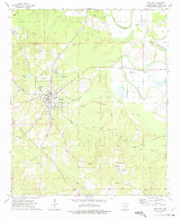
1973 Map of Star City
USGS Topo · Published 1975About this map
Star City sits at the heart of this mid-1970s landscape, where the flatlands of the Mississippi Delta meet the rising timberlands of the Arkansas Gulf Coastal Plain. The map documents a transition in local transport and land use, showing the alignment of the Military Road and Sorrels Ferry Road as they navigate the ridges and lowlands. To the east, the meandering Bayou Bartholomew defines the topography, its banks dotted with a Fish Hatchery, multiple fish farms, and the Frizzell Landing Strip. The presence of the Star City Lookout Tower and numerous gravel pits suggests a local economy rooted in forestry and natural resources. For the family historian, the map identifies several rural landmarks including Pleasant Hill Ch, Calhoun, and cemeteries like Mt Nebo Cem and Leak Cem.
Find a feature on this map
39 named features on this map. Tap any name to fly to it.
Don’t see what you’re looking for? This feature index may not catch every label — zoom into the map to look around manually.
Map Details
Editions of this 1973 Star City Map
This is the sole edition of this map. No revisions or reprints were ever made.
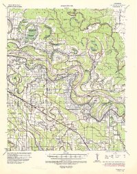
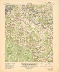
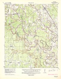
Other maps of this area

1935 · Feenyville
USGS Topo · 1:62,500
1935 · Varner
USGS Topo · 1:62,500
1935 · Noble Lake
USGS Topo · 1:62,500
1935 · Rotan
USGS Topo · 1:62,500

1948 · Helena
USGS Topo · 1:250,000

1950 · Helena
USGS Topo · 1:250,000

1953 · Greenwood
USGS Topo · 1:250,000

1955 · Helena
USGS Topo · 1:250,000

1956 · Greenwood
USGS Topo · 1:250,000

1959 · Helena
USGS Topo · 1:250,000