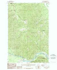
1983 Map of Stark South
USGS Topo · Published 1987About this map
Lolo National Forest dominates this mountain landscape, where the Ninemile Divide separates deep drainage basins along the border of Mineral and Missoula counties. The small settlement of Stark sits in the northeast corner at the confluence of Ninemile Creek and Stark Creek, serving as a primary point of human activity in an area otherwise defined by steep ridges and complex creek systems. At the peak of Stark Mountain, a Lookout Tower marks a strategic high point overlooking the network of canyons and gulches.
Find a feature on this map
26 named features on this map. Tap any name to fly to it.
Don’t see what you’re looking for? This feature index may not catch every label — zoom into the map to look around manually.
Map Details
Editions of this 1983 Stark South Map
2 editions found
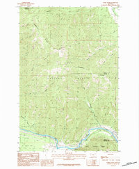
Other maps of this area

1911 · Lolo
USGS Topo · 1:250,000

1912 · Missoula
USGS Topo · 1:125,000

1913 · Lolo
USGS Topo · 1:250,000

1956 · Wallace
USGS Topo · 1:250,000

1956 · Hamilton
USGS Topo · 1:250,000

1959 · Hamilton
USGS Topo · 1:250,000

1959 · Tarkio
USGS Topo · 1:62,500

1959 · Alberton
USGS Topo · 1:62,500

1960 · Wallace
USGS Topo · 1:250,000

1960 · Hamilton
USGS Topo · 1:250,000