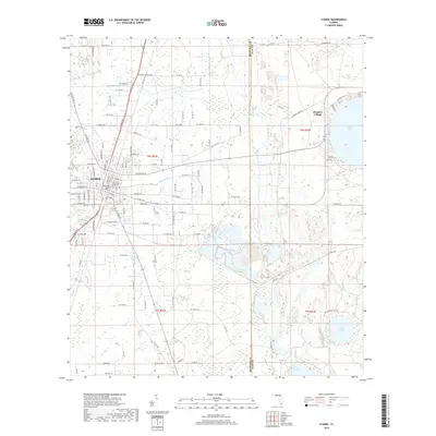
2018 Map of Starke
USGS Topo · Published 2018About this map
Starke sits at the heart of this North Florida landscape, where the municipal grid meets a complex network of wetlands and small watercourses. The town's layout is defined by major thoroughfares like Temple Ave and W Market Rd, while the surrounding rural landscape is marked by numerous family and descriptive road names such as L M Gaines Blvd and the curiously named Hippie Rd. To the east, the circular shoreline of Kingsley Lake hosts the community of Kingsley Village, illustrating the region's long-standing draw toward lakeside living.
Find a feature on this map
64 named features on this map. Tap any name to fly to it.
Don’t see what you’re looking for? This feature index may not catch every label — zoom into the map to look around manually.
Map Details
Editions of this 2018 Starke Map
This is the sole edition of this map. No revisions or reprints were ever made.
Other maps of this area

1918 · Middleburg
USGS Topo · 1:62,500

1918 · Lawtey
USGS Topo · 1:62,500

1941 · Starke
USGS Topo · 1:62,500

1941 · Middleburg
USGS Topo · 1:62,500

1942 · Ates Creek
USGS Topo · 1:62,500

1948 · Starke
USGS Topo · 1:50,000

1948 · Jacksonville
USGS Topo · 1:250,000

1949 · Middleburg SW
USGS Topo · 1:24,000

1949 · Sampson
USGS Topo · 1:24,000

1949 · Gold Head Branch
USGS Topo · 1:24,000