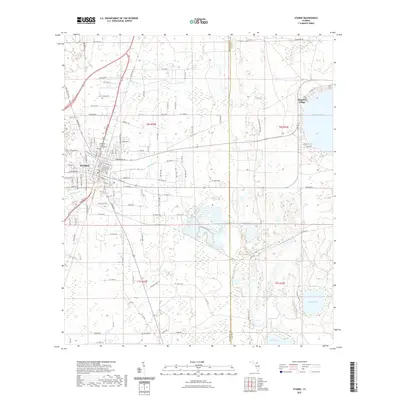
2021 Map of Starke
USGS Topo · Published 2021About this map
Starke serves as the focal point of this North Florida landscape, where the historic Bradford County Courthouse anchors the local street grid. The map details the transition from the city's residential corridors, like N Orange St and W Market Rd, into the wetlands and pine flatwoods characteristic of the region. To the east, the circular shoreline of Kingsley Lake dominates the terrain, supporting the community of Kingsley Village. The natural drainage of the area is defined by several watercourses including Alligator Cr and Water Oak Cr, which weave through the low-lying sections between Starke and the Clay County line. This survey provides a precise view of the modern infrastructure and rural land divisions, from the northern reaches along Co Rd 225 to southern water bodies such as Stevens Lake and Blue Pond.
Find a feature on this map
74 named features on this map. Tap any name to fly to it.
Don’t see what you’re looking for? This feature index may not catch every label — zoom into the map to look around manually.
Map Details
Editions of this 2021 Starke Map
This is the sole edition of this map. No revisions or reprints were ever made.
Other maps of this area

1918 · Middleburg
USGS Topo · 1:62,500

1918 · Lawtey
USGS Topo · 1:62,500

1941 · Starke
USGS Topo · 1:62,500

1941 · Middleburg
USGS Topo · 1:62,500

1942 · Ates Creek
USGS Topo · 1:62,500

1948 · Starke
USGS Topo · 1:50,000

1948 · Jacksonville
USGS Topo · 1:250,000

1949 · Middleburg SW
USGS Topo · 1:24,000

1949 · Sampson
USGS Topo · 1:24,000

1949 · Gold Head Branch
USGS Topo · 1:24,000