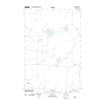
2010 Map of Starks
USGS Topo · Published 2010About this map
Glacial lakes and meandering waterways dominate this landscape in the northern Wisconsin lakelands, where the small settlements of Starks and Gagen sit along the primary transport corridors. The hydrography of the region is intricate, defined by larger bodies like Stella Lake and Spur Lake, and an extensive network of drainage including Gudegast Creek and the long course of Twin Lakes Creek.
Find a feature on this map
17 named features on this map. Tap any name to fly to it.
Don’t see what you’re looking for? This feature index may not catch every label — zoom into the map to look around manually.
Map Details
Editions of this 2010 Starks Map
This is the sole edition of this map. No revisions or reprints were ever made.
Other maps of this area

1928 · Three Lakes
USGS Topo · 1:48,000

1930 · Robbins
USGS Topo · 1:48,000

1938 · Three Lakes
USGS Topo · 1:48,000

1938 · Robbins
USGS Topo · 1:48,000

1940 · Monico
USGS Topo · 1:48,000

1940 · Rhinelander
USGS Topo · 1:48,000

1945 · Three Lakes
USGS Topo · 1:48,000

1945 · Robbins
USGS Topo · 1:48,000

1949 · Rhinelander
USGS Topo · 1:48,000

1950 · Monico
USGS Topo · 1:48,000