Old Maps of Monico, Wisconsin
Explore 29 old maps of Monico, spanning from 1940 to today. These high-resolution historic maps reveal how streets, neighborhoods, landmarks, and natural features evolved over time — perfect for genealogy, metal detecting, research, and local history exploration.
What you can do with these maps:
- See how Monico changed over time: Compare historical maps to modern-day views to trace roads, homesites, rail lines & more.
- View detailed metadata: Each map includes creators, publishers, year, scale, and archive source.
- Overlay maps with satellite & LiDAR: Visualize the past alongside modern tools to explore terrain & human change.
- Trusted historical sources: Maps sourced from the USGS, Library of Congress, and other archives.
- Access maps your way: View online, download high-res files, or order prints for personal or research use.
Start exploring old maps of Monico to uncover forgotten places, hidden landmarks, and the deep history beneath your feet.
Monico, WI maps
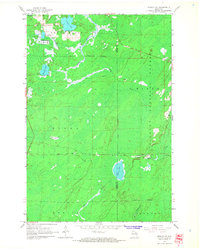
(29)- 1940 Map of Monico, 1955 Print
 1940 Monico1955 Print · USGSThe Northwoods of Oneida and Forest counties are captured here just before the mid-century, defined by the crossing of major rail lines and a maze of glacial lakes. Genealogists and researchers can trace the early footprints of Monico, Jennings, and Nashville, or locate local landmarks like Forest Home Cem.
 - 1950 Map of Monico
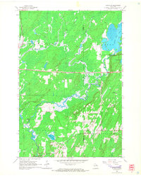
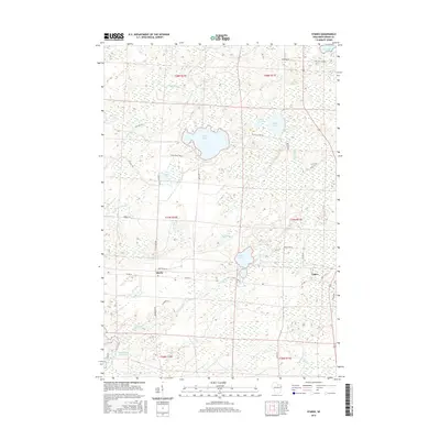
 1950 Monico1950 Print · USGSOneida County at mid-century is a landscape of glacial lakes and critical rail junctions during the height of the timber and transport era. Researchers can trace rural school locations like Wolf River Sch and rail outposts including Starks, Gagen, and Lennox.
 - 1954 Map of Iron Mountain, 1964 Print
 1954 Iron Mountain1964 Print · USGSUpper Michigan and Northeastern Wisconsin are shown in detail during the mid-fifties, when the logging and mining economies still moved by rail. Trace the rail lines of the Soo Line to remote stops like Koepenick Station or explore the Iron Range near Iron Mountain.2 unique versions available
 - 1959 Map of Iron Mountain
 1959 Iron Mountain1959 Print · USGSThe northwoods of Wisconsin and the Michigan border are captured here in the mid-fifties, showing a landscape defined by timber, water, and rail. Researchers can trace historic junctions like Hiles Junction, the expansive Nicolet National Forest, and lakefront settlements from Rhinelander to Tomahawk.2 unique versions available
 - 1965 Map of Monico NE, 1966 Print
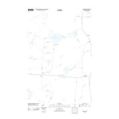
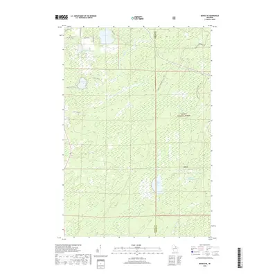
 1965 Monico NE1966 Print · USGSOneida County in the mid-1960s remains a landscape of deep timber and glacial water at the edge of the Nicolet National Forest. Genealogists and historians can trace the rail-reliant community of Atkins and early agricultural sites like the Cranberry Bogs near Three Lakes.2 unique versions available
 - 1965 Map of Nashville, 1966 Print
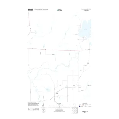
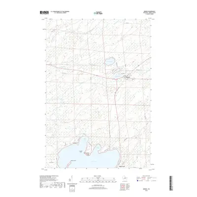
 1965 Nashville1966 Print · USGSOneida and Forest counties in the mid-sixties show a landscape of timber-country settlements and glacial lakes. Genealogists can trace family names at Nashville Cem or Wolfram Cem, while industrial historians can follow the Old Railroad Grade.2 unique versions available
 - 1965 Map of Starks, 1966 Print
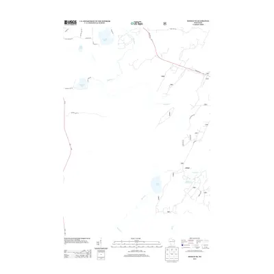
 1965 Starks1966 Print · USGSOneida County's Northwoods character is on full display in the mid-sixties, defined by its rail junctions and glacial lake basins. Genealogists and local historians can trace the foundations of Starks and Gagen, noting the locations of Stella Sch and Townhall.2 unique versions available
 - 1965 Map of Monico, 1967 Print
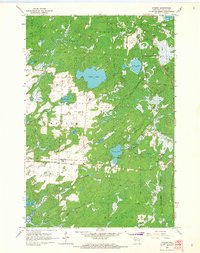
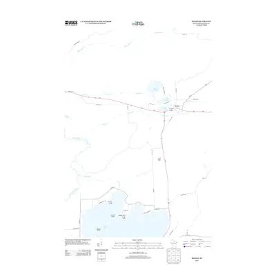
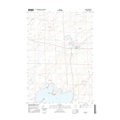
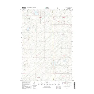
 1965 Monico1967 Print · USGSOneida County's Northwoods landscape is captured here in the mid-1960s, centered on the rail-junction town of Monico. Genealogists and historians can trace the paths of the Chicago and North Western railway or locate landmarks like Pentecost Ch and the Beck Lookout Tower.
 - 1989 Map of Rhinelander, 1990 Print
 1989 Rhinelander1990 Print · USGSThe Wisconsin Northwoods are captured here in the late eighties, showing a landscape defined by water and timber management. Researchers can trace the Soo Line rail corridors and find local landmarks like Rainbow Flowage, Pelican Lake, and the Rhinelander-Oneida Co Airport.
 - 2010 Map of Starks, 2010 Print
 2010 Starks2010 Print · USGSCovers Monico, including Three Lakes, Sugar Camp, and other nearby areas
 - 2010 Map of Monico, 2010 Print
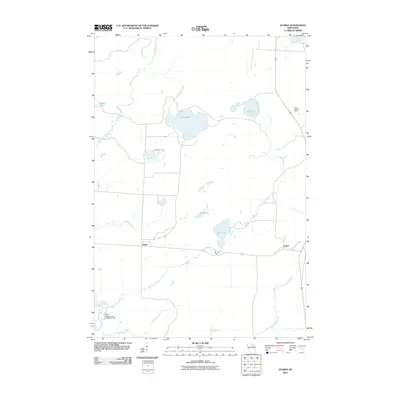
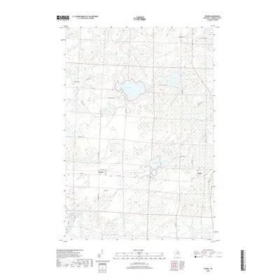
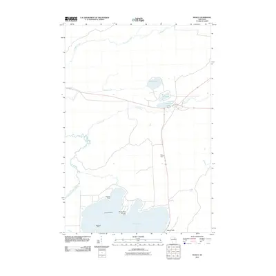 2010 Monico2010 Print · USGSCovers Monico, including Enterprise, Pelican, and other nearby areas
 - 2010 Map of Nashville, 2010 Print
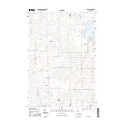
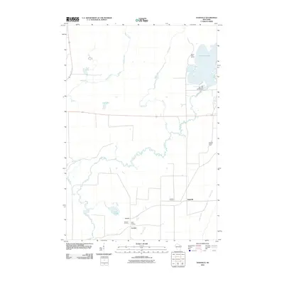 2010 Nashville2010 Print · USGSCovers Monico, including Nashville, Jennings, and other nearby areas
 - 2011 Map of Monico NE, 2011 Print
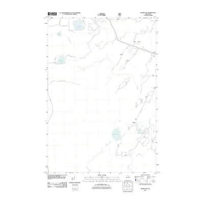 2011 Monico NE2011 Print · USGSCovers Monico, including Three Lakes, Hiles, and other nearby areas
 - 2013 Map of Monico, 2013 Print
 2013 Monico2013 Print · USGSCovers Monico, including Enterprise, Pelican, and other nearby areas
 - 2013 Map of Monico NE, 2013 Print
 2013 Monico NE2013 Print · USGSCovers Monico, including Three Lakes, Hiles, and other nearby areas
 - 2013 Map of Nashville, 2013 Print
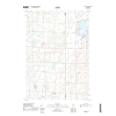
 2013 Nashville2013 Print · USGSCovers Monico, including Nashville, Jennings, and other nearby areas
 - 2013 Map of Starks, 2013 Print
 2013 Starks2013 Print · USGSCovers Monico, including Three Lakes, Sugar Camp, and other nearby areas
 - 2015 Map of Monico, 2015 Print
 2015 Monico2015 Print · USGSCovers Monico, including Enterprise, Pelican, and other nearby areas
 - 2015 Map of Monico NE, 2015 Print
 2015 Monico NE2015 Print · USGSCovers Monico, including Three Lakes, Hiles, and other nearby areas
 - 2015 Map of Starks, 2015 Print
 2015 Starks2015 Print · USGSCovers Monico, including Three Lakes, Sugar Camp, and other nearby areas
 - 2015 Map of Nashville, 2015 Print
 2015 Nashville2015 Print · USGSCovers Monico, including Nashville, Jennings, and other nearby areas
 - 2018 Map of Nashville, 2018 Print
 2018 Nashville2018 Print · USGSCovers Monico, including Nashville, Jennings, and other nearby areas
 - 2018 Map of Starks, 2018 Print
 2018 Starks2018 Print · USGSCovers Monico, including Three Lakes, Sugar Camp, and other nearby areas
 - 2018 Map of Monico NE, 2018 Print
 2018 Monico NE2018 Print · USGSCovers Monico, including Three Lakes, Hiles, and other nearby areas
 - 2018 Map of Monico, 2018 Print
 2018 Monico2018 Print · USGSCovers Monico, including Enterprise, Pelican, and other nearby areas
Showing maps 1-25 of 29
Top cities near Monico
- Three Lakes historical maps
- Crandon historical maps
- Sugar Camp historical maps
- Elcho historical maps
- Nashville historical maps
- Stella historical maps
See more
Frequently asked questions
- What are the different types of historical maps available for Monico?
- What is the oldest map of Monico?
- Where can I purchase historical maps of Monico for my home or office?
- Where can I download high-res historical maps of Monico?
- Are there historical topographic maps available for Monico?
- Is there historical aerial imagery available for Monico?
- Where are historical maps of Monico sourced from?