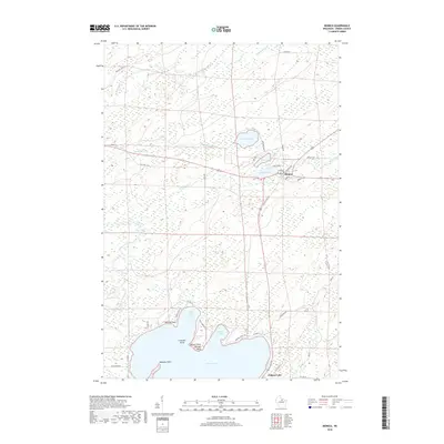
2018 Map of Monico
USGS Topo · Published 2018About this map
Monico and the northern reaches of Pelican Lake anchor this topographic view of the Wisconsin Northwoods. The settlement pattern is largely dictated by the area's glacial hydrology, with the village of Monico situated near a cluster of small basins including Mars Lake, Venus Lake, and Neptune Lake. To the south, the expansive waters of Pelican Lake are defined by numerous named points and bays that reflect long-standing recreational and residential development, such as Chicago Point, Mekanac Point, and Norway Point. Drainage is managed through a network of small waterways like Neptune Cr and the Pelican River. The landscape is crisscrossed by a dense network of local fire lanes and secondary roads, including Malvern Fire Ln and Roothouse Rd, which provide access to the timbered tracts and wetland margins that characterize this portion of Oneida County.
Find a feature on this map
39 named features on this map. Tap any name to fly to it.
Don’t see what you’re looking for? This feature index may not catch every label — zoom into the map to look around manually.
Map Details
Editions of this 2018 Monico Map
This is the sole edition of this map. No revisions or reprints were ever made.
Other maps of this area

1940 · Parrish
USGS Topo · 1:48,000

1940 · Monico
USGS Topo · 1:48,000

1940 · Rhinelander
USGS Topo · 1:48,000

1942 · Elcho
USGS Topo · 1:48,000

1949 · Rhinelander
USGS Topo · 1:48,000

1950 · Monico
USGS Topo · 1:48,000

1950 · Elcho
USGS Topo · 1:48,000

1950 · Parrish
USGS Topo · 1:48,000

1952 · Parrish
USGS Topo · 1:48,000

1954 · Iron Mountain
USGS Topo · 1:250,000