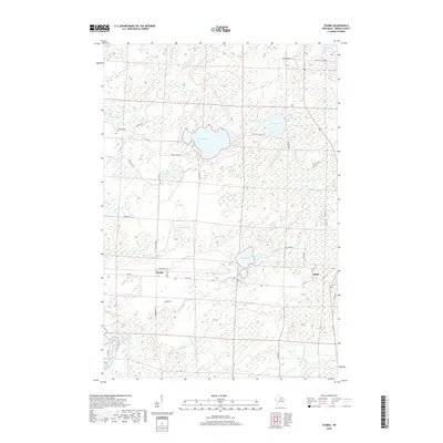
2018 Map of Starks
USGS Topo · Published 2018About this map
Stella Lake and a high density of wetlands characterize this Oneida County landscape, where glacial lakes and small creeks dominate the terrain. The settlement of Starks is situated at the intersection of Co Hwy C and Depot Rd, near Warehouse Rd, reflecting its history as a transport and storage point for the region. To the east, the community of Gagen sits along Old 45 Rd, while the surrounding forest is crisscrossed by roads often named for local figures or destinations, such as Piehls Point Rd and Axelson Rd.
Find a feature on this map
42 named features on this map. Tap any name to fly to it.
Don’t see what you’re looking for? This feature index may not catch every label — zoom into the map to look around manually.
Map Details
Editions of this 2018 Starks Map
This is the sole edition of this map. No revisions or reprints were ever made.
Other maps of this area

1928 · Three Lakes
USGS Topo · 1:48,000

1930 · Robbins
USGS Topo · 1:48,000

1938 · Three Lakes
USGS Topo · 1:48,000

1938 · Robbins
USGS Topo · 1:48,000

1940 · Monico
USGS Topo · 1:48,000

1940 · Rhinelander
USGS Topo · 1:48,000

1945 · Three Lakes
USGS Topo · 1:48,000

1945 · Robbins
USGS Topo · 1:48,000

1949 · Rhinelander
USGS Topo · 1:48,000

1950 · Monico
USGS Topo · 1:48,000