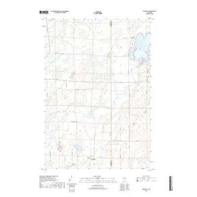
2018 Map of Nashville
USGS Topo · Published 2018About this map
The settlement of Jennings and its surrounding wetlands form the center of this modern landscape on the border of Oneida and Forest Counties. The area is defined by the winding course of the Wolf River and numerous glacial water bodies, including Little Rice Lake and Leith Lake. Several local cemeteries, such as Nashville Cem, Wolfgram Cem, and Saint Marys Cem, provide essential landmarks for genealogists tracing family histories in this part of Wisconsin. Further south, Forest Home Cem sits near Lake Lucille, while the Island View Airport serves as a small aviation point in the north. The map details a network of rural roads like Meister Stockley Rd and Pergande Rd that connect these remote homesteads and natural features through the dense northern woods.
Find a feature on this map
44 named features on this map. Tap any name to fly to it.
Don’t see what you’re looking for? This feature index may not catch every label — zoom into the map to look around manually.
Map Details
Editions of this 2018 Nashville Map
This is the sole edition of this map. No revisions or reprints were ever made.
Other maps of this area

1939 · Crandon
USGS Topo · 1:48,000

1940 · Monico
USGS Topo · 1:48,000

1941 · Crandon
USGS Topo · 1:48,000

1942 · Elcho
USGS Topo · 1:48,000

1942 · Pearson
USGS Topo · 1:48,000

1947 · Crandon
USGS Topo · 1:48,000

1950 · Monico
USGS Topo · 1:48,000

1950 · Elcho
USGS Topo · 1:48,000

1950 · Lily
USGS Topo · 1:48,000

1954 · Iron Mountain
USGS Topo · 1:250,000