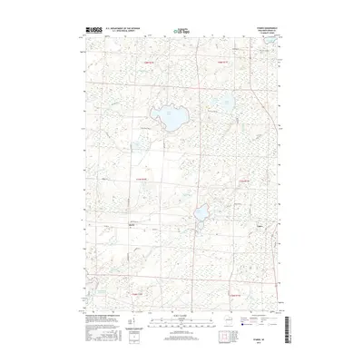
2015 Map of Starks
USGS Topo · Published 2015About this map
Starks and Gagen sit within a dense network of glacial water bodies in this Oneida County landscape. The topography is defined by dozens of kettle lakes and reservoirs, ranging from the expansive Stella Lake at the center to the North Pelican Reservoir 71 in the southwest. A complex hydrology of small streams, including Gudegast Cr and Starks Cr, connects these basins through a heavily forested terrain managed by numerous section lines and timber roads like Warehouse Rd.
Find a feature on this map
49 named features on this map. Tap any name to fly to it.
Don’t see what you’re looking for? This feature index may not catch every label — zoom into the map to look around manually.
Map Details
Editions of this 2015 Starks Map
This is the sole edition of this map. No revisions or reprints were ever made.
Other maps of this area

1928 · Three Lakes
USGS Topo · 1:48,000

1930 · Robbins
USGS Topo · 1:48,000

1938 · Three Lakes
USGS Topo · 1:48,000

1938 · Robbins
USGS Topo · 1:48,000

1940 · Monico
USGS Topo · 1:48,000

1940 · Rhinelander
USGS Topo · 1:48,000

1945 · Three Lakes
USGS Topo · 1:48,000

1945 · Robbins
USGS Topo · 1:48,000

1949 · Rhinelander
USGS Topo · 1:48,000

1950 · Monico
USGS Topo · 1:48,000