Loading...
Loading map...2023 Map of Starkville
USGS Topo · Published 2023About this map
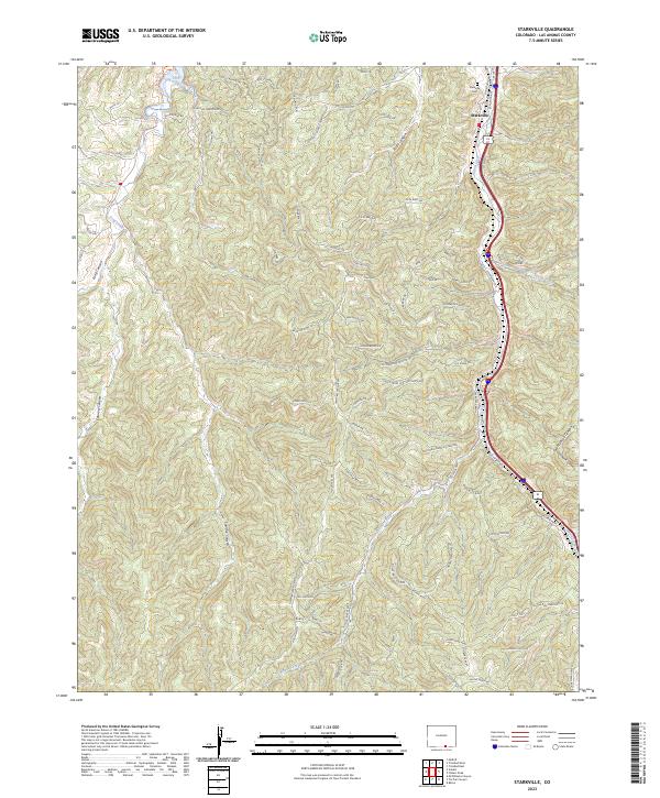
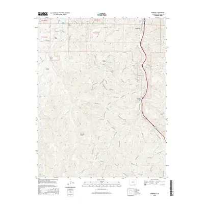
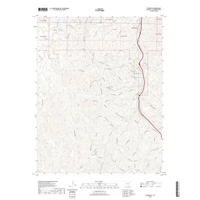
Starkville anchors the northern edge of this landscape, situated along the valley of Raton Creek near the historic Starkville Cem. This contemporary mapping of Las Animas County reveals a transition from valley settlements to the steep, dissected terrain of the Colorado high country. The complex drainage network of Gallinas Creek, Clear Creek, and Long Creek defines the local topography, carving deep features like Saruche Canyon and Oso Canyon.
Find a feature on this map
93 named features on this map. Tap any name to fly to it.
Don’t see what you’re looking for? This feature index may not catch every label — zoom into the map to look around manually.
Map Details
Date Portrayed2023
Date Published2023
PublisherU.S. Geological Survey
Map TypeTopographic
Scale1:24,000
Physical Dimensions24 x 29 inches
Editions of this 2023 Starkville Map
This is the sole edition of this map. No revisions or reprints were ever made.
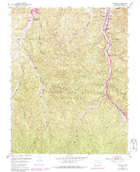
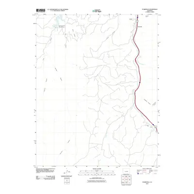
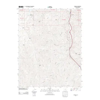
Historical Maps of Starkville Through Time
6 maps found
Featured Locations
Source Details
SourceU.S. Geological Survey
CopyrightPublic Domain