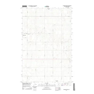
2014 Map of Starkweather NE
USGS Topo · Published 2014About this map
Starkweather serves as the primary focal point in this portion of Ramsey County, situated along the western edge of the quadrangle. The town's local history is anchored by Calvary Cem and the nearby Starweather Cem, both positioned just east of the settlement. The surrounding landscape is defined by the winding course of the Starkweather Coulee, which meanders through the prairie terrain in the northern and southeastern sections. A rigid grid of rural roads, including ND-17 and numerous numbered avenues like 83rd Ave NE and 87th Ave NE, facilitates movement between the expansive agricultural plots that dominate the regional geography.
Find a feature on this map
20 named features on this map. Tap any name to fly to it.
Don’t see what you’re looking for? This feature index may not catch every label — zoom into the map to look around manually.
Map Details
Editions of this 2014 Starkweather NE Map
This is the sole edition of this map. No revisions or reprints were ever made.
Other maps of this area

1953 · Devils Lake
USGS Topo · 1:250,000

1956 · Devils Lake
USGS Topo · 1:250,000

1957 · Starkweather SE
USGS Topo · 1:24,000

1957 · Webster
USGS Topo · 1:24,000

1962 · Starkweather
USGS Topo · 1:24,000

1962 · Starkweather NE
USGS Topo · 1:24,000

1970 · Hampden
USGS Topo · 1:24,000

1971 · Munich SW
USGS Topo · 1:24,000

1971 · Munich SE
USGS Topo · 1:24,000

1972 · Derrick NW
USGS Topo · 1:24,000