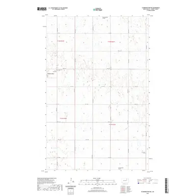
2020 Map of Starkweather NE
USGS Topo · Published 2020About this map
Starkweather serves as the focal point of this rural Ramsey County landscape, situated where the grid of sections meets the undulating terrain of the prairie. The settlement is anchored by local heritage sites, including the Starkweather Cem and Calvary Catholic Cem on its immediate outskirts. This area of North Dakota is defined by its glacial hydrology, with Shea Slough and the winding Starkweather Coulee carving through the agricultural sections. The map reveals a highly structured township system, defined by cardinal roads such as 69th St NE and Co HWY 9, which connect isolated farmsteads across the T158N and T157N ranges. To the southeast, the Sons Of Jacob Cem stands as a notable marker of the region's diverse cultural and religious history, preserved amidst the vast drainage basins and wetlands that characterize the local geography.
Find a feature on this map
18 named features on this map. Tap any name to fly to it.
Don’t see what you’re looking for? This feature index may not catch every label — zoom into the map to look around manually.
Map Details
Editions of this 2020 Starkweather NE Map
This is the sole edition of this map. No revisions or reprints were ever made.
Other maps of this area

1953 · Devils Lake
USGS Topo · 1:250,000

1956 · Devils Lake
USGS Topo · 1:250,000

1957 · Starkweather SE
USGS Topo · 1:24,000

1957 · Webster
USGS Topo · 1:24,000

1962 · Starkweather
USGS Topo · 1:24,000

1962 · Starkweather NE
USGS Topo · 1:24,000

1970 · Hampden
USGS Topo · 1:24,000

1971 · Munich SW
USGS Topo · 1:24,000

1971 · Munich SE
USGS Topo · 1:24,000

1972 · Derrick NW
USGS Topo · 1:24,000