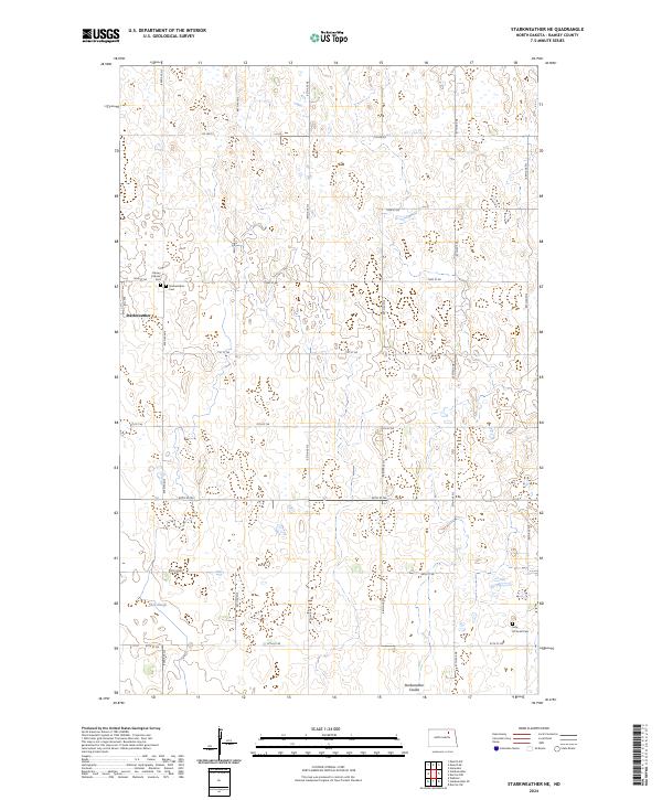
2024 Map of Starkweather NE
USGS Topo · Published 2024About this map
Starkweather serves as the primary hub in this corner of North Dakota, situated amidst a landscape defined by an intricate network of wetlands and prairie potholes. The terrain is marked by significant hydrological features like Shea Slough and the winding Starkweather Coulee, which shape the local geography and agricultural boundaries. For those tracing family histories in the region, the map documents several important sites including Calvary Catholic Cem, Starkweather Cem, and the Sons Of Jacob Cem located near the eastern edge. Large tracts of the Ramsey County Waterfowl Production Area are also visible, highlighting the area's role in wildlife conservation within the Central Flyway. A precise grid of county roads, such as Co Hwy 9 and 72nd St NE, provides access across the townships of t158n r64w and t157n r63w.
Find a feature on this map
20 named features on this map. Tap any name to fly to it.
Don’t see what you’re looking for? This feature index may not catch every label — zoom into the map to look around manually.
Map Details
Editions of this 2024 Starkweather NE Map
This is the sole edition of this map. No revisions or reprints were ever made.
Other maps of this area

1953 · Devils Lake
USGS Topo · 1:250,000

1956 · Devils Lake
USGS Topo · 1:250,000

1957 · Starkweather SE
USGS Topo · 1:24,000

1957 · Webster
USGS Topo · 1:24,000

1962 · Starkweather
USGS Topo · 1:24,000

1962 · Starkweather NE
USGS Topo · 1:24,000

1970 · Hampden
USGS Topo · 1:24,000

1971 · Munich SW
USGS Topo · 1:24,000

1971 · Munich SE
USGS Topo · 1:24,000

1972 · Derrick NW
USGS Topo · 1:24,000