
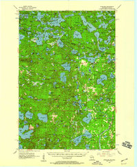
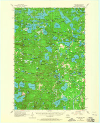
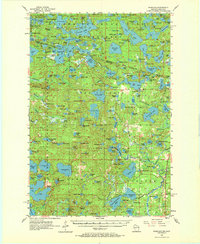
1955 Map of Starlake
USGS Topo · Published 1957About this map
The sprawling lake networks of the Northwoods define this 1955 survey of the Wisconsin-Michigan border. Extensive public lands, including the Ottawa National Forest and Highland State Forest, cover much of the region, interspersed with hundreds of named water bodies like Cisco Lake and Big Lake. The settlement of Starlake serves as a local hub near the southern edge, while the Chicago and North Western rail line cuts through the lake-dotted terrain to the east. This era shows a landscape managed for both timber and burgeoning recreation, with numerous points of interest for genealogists and local historians, such as the Land O' Lakes Cem and the Monahan Lookout Tower. The intricate shorelines of West Bay Lake and East Bay Lake reflect the complex glacial geography that has shaped the border region's development.
Find a feature on this map
175 named features on this map. Tap any name to fly to it.
Don’t see what you’re looking for? This feature index may not catch every label — zoom into the map to look around manually.
Map Details
Editions of this 1955 Starlake Map
4 editions found
Other maps of this area

1928 · Three Lakes
USGS Topo · 1:48,000

1930 · Robbins
USGS Topo · 1:48,000

1938 · Phelps
USGS Topo · 1:48,000

1938 · Minocqua
USGS Topo · 1:48,000

1938 · Three Lakes
USGS Topo · 1:48,000

1938 · Robbins
USGS Topo · 1:48,000

1939 · Trout Lake
USGS Topo · 1:48,000

1945 · Three Lakes
USGS Topo · 1:48,000

1945 · Robbins
USGS Topo · 1:48,000

1946 · Star Lake
USGS Topo · 1:48,000