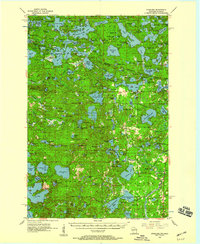
1955 Map of Starlake
USGS Topo · Published 1959About this map
The northern border of Wisconsin and the Upper Peninsula of Michigan meet within the Ottawa National Forest, a region defined by an intricate network of glacial lakes and dense timberland. This 1955 survey captures the landscape as it transitioned from a wilderness resource into a recreational hub, centered on the settlement of Starlake and the eastern village of Conover. The Chicago and North Western railway lines cut through the terrain, historically serving the logging industry that shaped these counties. Large water bodies such as Cisco Lake and Thousand Island Lake dominate the northern section, while smaller features like the Fish Hatchery and multiple Ranger Sta locations indicate the active conservation efforts of the mid-century. Genealogists and historians can trace local infrastructure near Covenant Ch or locate family-named landmarks like Indian Point and Meadowwoods Point.
Find a feature on this map
175 named features on this map. Tap any name to fly to it.
Don’t see what you’re looking for? This feature index may not catch every label — zoom into the map to look around manually.
Map Details
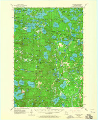
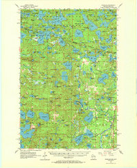
Editions of this 1955 Starlake Map
4 editions found

Other maps of this area

1928 · Three Lakes
USGS Topo · 1:48,000

1930 · Robbins
USGS Topo · 1:48,000

1938 · Phelps
USGS Topo · 1:48,000

1938 · Minocqua
USGS Topo · 1:48,000

1938 · Three Lakes
USGS Topo · 1:48,000

1938 · Robbins
USGS Topo · 1:48,000

1939 · Trout Lake
USGS Topo · 1:48,000

1945 · Three Lakes
USGS Topo · 1:48,000

1945 · Robbins
USGS Topo · 1:48,000

1946 · Star Lake
USGS Topo · 1:48,000