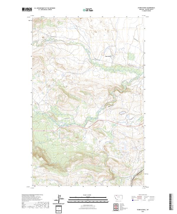
2024 Map of Starr School
USGS Topo · Published 2024About this map
Starr School serves as the focal point for this landscape in Glacier County, where the plains meet the rising foothills. The geography is defined by the braided path of the North Fork Cut Bank Creek and South Fork Cut Bank Creek, alongside the engineered Cut Bank Greasewood Canal. This topography illustrates a rural community tied closely to its water sources and historical pathways, with local life organized around roads like Starr School Rd and Anderson Dr.
Find a feature on this map
18 named features on this map. Tap any name to fly to it.
Don’t see what you’re looking for? This feature index may not catch every label — zoom into the map to look around manually.
Map Details
Editions of this 2024 Starr School Map
This is the sole edition of this map. No revisions or reprints were ever made.
Other maps of this area

1901 · Browning
USGS Topo · 1:125,000

1903 · Browning
USGS Topo · 1:125,000

1913 · Marias Pass
USGS Topo · 1:125,000

1960 · Cut Bank
USGS Topo · 1:250,000

1963 · Cut Bank
USGS Topo · 1:250,000

1964 · Cut Bank
USGS Topo · 1:250,000

1968 · Josephine
USGS Topo · 1:24,000
1968 · Kiowa
USGS Topo · 1:24,000

1968 · Browning NE
USGS Topo · 1:24,000
1968 · Browning
USGS Topo · 1:24,000