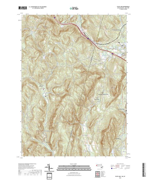
2024 Map of State Line
USGS Topo · Published 2024About this map
Richmond Furnace and the interstate border community of State Line anchor this study of the Berkshire and Columbia County borderlands. The landscape is defined by its industrial legacy, clearly visible in the presence of the Hudson Ore Bed Pond and Leet Ore Bed Pond, remnants of the iron ore extraction that once fueled the local economy. In the valleys, established settlements like Rockdale Mills and Williamsville sit along the Williams River, while the higher ground of the Taconic Range and Harvey Mtn dictates the winding path of historic transit routes like the Williams River Rail Trl. Local genealogists will find significant value in the distribution of family and community burial sites, including Austerlitz Cem and the West Center Cem, which provide a geographic record of the area's ancestral seat.
Find a feature on this map
110 named features on this map. Tap any name to fly to it.
Don’t see what you’re looking for? This feature index may not catch every label — zoom into the map to look around manually.
Map Details
Editions of this 2024 State Line Map
This is the sole edition of this map. No revisions or reprints were ever made.
Other maps of this area

1885 · Sheffield
USGS Topo · 1:62,500

1888 · Sheffield
USGS Topo · 1:62,500

1888 · Pittsfield
USGS Topo · 1:62,500

1890 · Pittsfield
USGS Topo · 1:62,500

1891 · Sheffield
USGS Topo · 1:62,500

1893 · Sheffield
USGS Topo · 1:62,500

1893 · Pittsfield
USGS Topo · 1:62,500

1894 · Pittsfield
USGS Topo · 1:62,500

1897 · Pittsfield
USGS Topo · 1:62,500

1897 · Sheffield
USGS Topo · 1:62,500