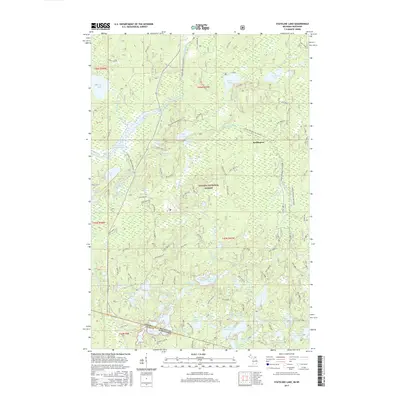
2017 Map of Stateline Lake
USGS Topo · Published 2017About this map
The Ottawa National Forest dominates this northern landscape, spanning the border where Gogebic County, Michigan, meets Vilas County, Wisconsin. This 2017 survey details a dense network of glacial water bodies and drainage systems, notably the Presque Isle River Flooding and the winding course of Meander Creek. The small settlement of Wellington sits surrounded by deep woods, connected to the wider region by Forest Service roads and the Bessemer Snowmobile #1-S trail.
Find a feature on this map
67 named features on this map. Tap any name to fly to it.
Don’t see what you’re looking for? This feature index may not catch every label — zoom into the map to look around manually.
Map Details
Editions of this 2017 Stateline Lake Map
This is the sole edition of this map. No revisions or reprints were ever made.
Other maps of this area

1939 · Trout Lake
USGS Topo · 1:48,000

1939 · Winchester
USGS Topo · 1:48,000

1946 · Winchester
USGS Topo · 1:48,000

1946 · Trout Lake
USGS Topo · 1:48,000

1949 · Trout Lake
USGS Topo · 1:48,000

1955 · Marenisco
USGS Topo · 1:62,500

1955 · Boulder Junction
USGS Topo · 1:62,500

1955 · Winchester
USGS Topo · 1:62,500

1955 · Marenisco
USGS Topo · 1:24,000

1955 · Wakefield
USGS Topo · 1:62,500