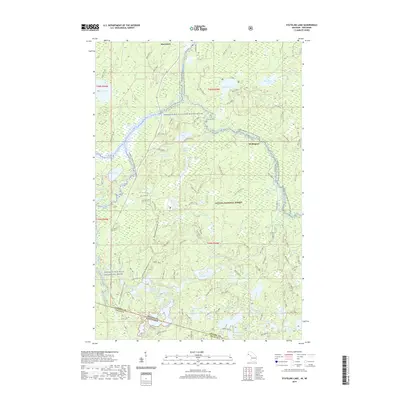
2019 Map of Stateline Lake
USGS Topo · Published 2019About this map
The Ottawa National Forest dominates this northern landscape, spanning the boundary between Michigan and Wisconsin. This 2019 survey captures a region defined by its dense network of waterways, centered on the Presque Isle Wild and Scenic River. The map meticulously details the varying character of these waters, identifying specific stretches such as the Canoe: Presque Isle River and the Canoe: Branch Presque Isle, highlighting the area's importance for wilderness navigation.
Find a feature on this map
66 named features on this map. Tap any name to fly to it.
Don’t see what you’re looking for? This feature index may not catch every label — zoom into the map to look around manually.
Map Details
Editions of this 2019 Stateline Lake Map
This is the sole edition of this map. No revisions or reprints were ever made.
Other maps of this area

1939 · Trout Lake
USGS Topo · 1:48,000

1939 · Winchester
USGS Topo · 1:48,000

1946 · Winchester
USGS Topo · 1:48,000

1946 · Trout Lake
USGS Topo · 1:48,000

1949 · Trout Lake
USGS Topo · 1:48,000

1955 · Marenisco
USGS Topo · 1:62,500

1955 · Boulder Junction
USGS Topo · 1:62,500

1955 · Winchester
USGS Topo · 1:62,500

1955 · Marenisco
USGS Topo · 1:24,000

1955 · Wakefield
USGS Topo · 1:62,500