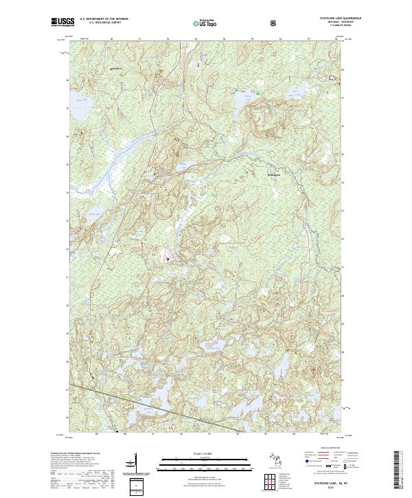
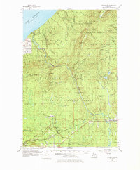
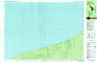
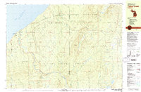
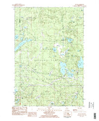
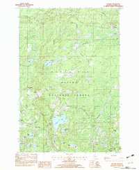
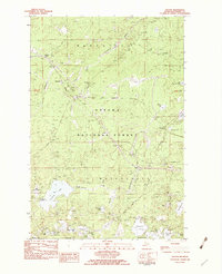
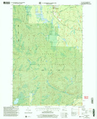
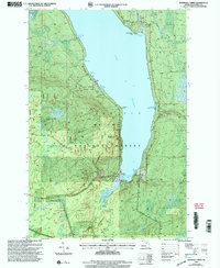
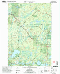
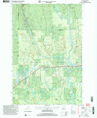
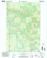
2023 Map of Stateline Lake
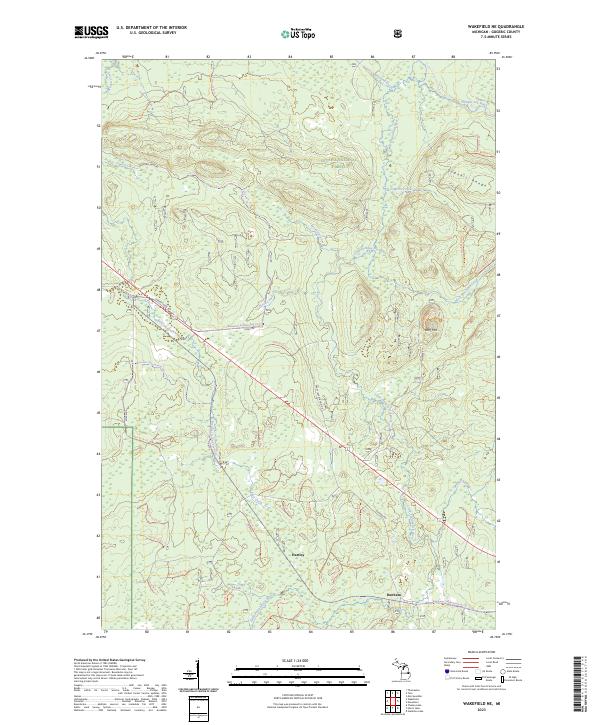
USGS Topo · Published 2023This historical map portrays the area of Stateline Lake in 2023, primarily covering Gogebic County as well as portions of Wisconsin. Featuring a scale of 1:24000, this map provides a highly detailed snapshot of the terrain, roads, buildings, counties, and historical landmarks in the Stateline Lake region at the time. Published in 2023, it is the sole known edition of this map.
Find a feature on this map
63 named features on this map. Tap any name to fly to it.
Don’t see what you’re looking for? This feature index may not catch every label — zoom into the map to look around manually.
Map Details
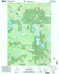
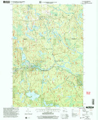
Editions of this 2023 Stateline Lake Map
This is the sole edition of this map. No revisions or reprints were ever made.
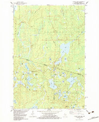
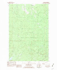
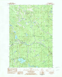
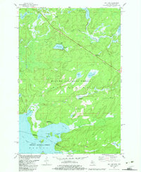
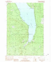
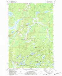
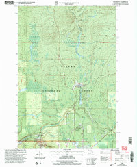
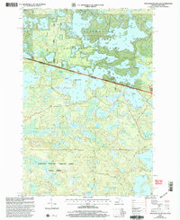
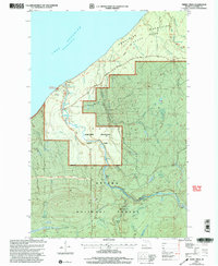
Historical Maps of Wellington Through Time
56 maps found

1943 Little Girls Point
Gogebic County, MI
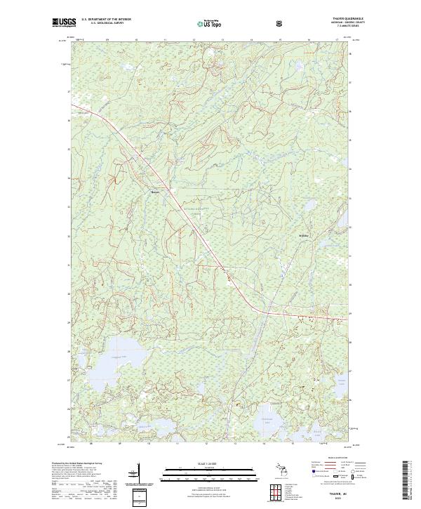
1952 Thayer
Gogebic County, MI
1955 Wakefield NE
Gogebic County, MI
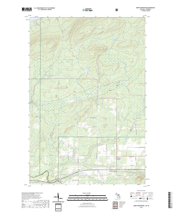
1956 North Ironwood
Gogebic County, MI
1956 Thomaston
Gogebic County, MI
1980 Black River Harbor
Gogebic County, MI

1980 Little Girls Point
Gogebic County, MI
1980 Tiebel Creek
Gogebic County, MI

1981 Thomaston
Gogebic County, MI
1981 Thousand Island Lake
Gogebic County, MI
1982 Beaton
Gogebic County, MI
1982 Chaney Lake
Gogebic County, MI
1982 Cup Lake
Gogebic County, MI
1982 Fuller
Gogebic County, MI
1982 Gogebic
Gogebic County, MI
1982 Imp Lake
Gogebic County, MI
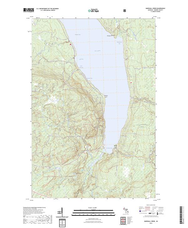
1982 Marshall Creek
Gogebic County, MI
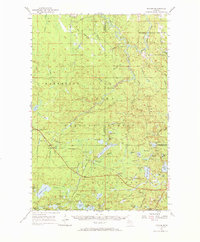
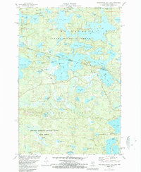
1982 Stateline Lake
Gogebic County, MI
1982 Thayer
Gogebic County, MI
1999 Beaton
Gogebic County, MI
1999 Black River Harbor
Gogebic County, MI
1999 Copper Peak
Gogebic County, MI
1999 Cup Lake
Gogebic County, MI
1999 Fuller
Gogebic County, MI
1999 Gogebic
Gogebic County, MI
1999 Imp Lake
Gogebic County, MI
1999 Marshall Creek
Gogebic County, MI
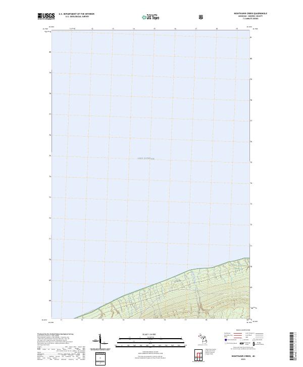
1999 Nighthawk Creek
Gogebic County, MI
1999 North Ironwood
Gogebic County, MI
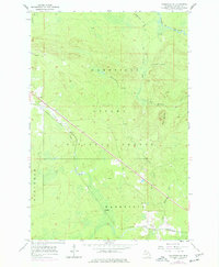
1999 Stateline Lake
Gogebic County, MI
1999 Thayer
Gogebic County, MI
1999 Thomaston
Gogebic County, MI
1999 Thousand Island Lake
Gogebic County, MI
1999 Tiebel Creek
Gogebic County, MI
1999 Tula
Gogebic County, MI
1999 Wakefield NE
Gogebic County, MI
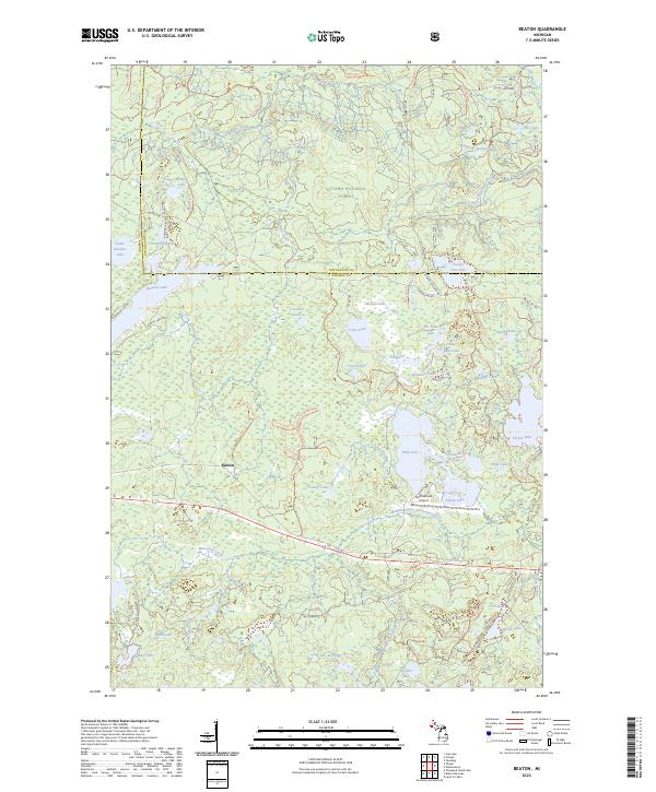
2023 Beaton
Gogebic County, MI
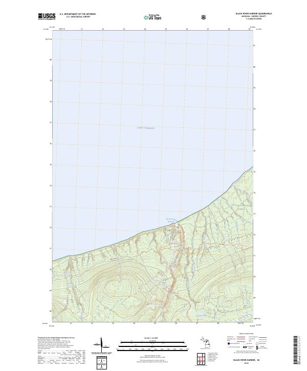
2023 Black River Harbor
Gogebic County, MI
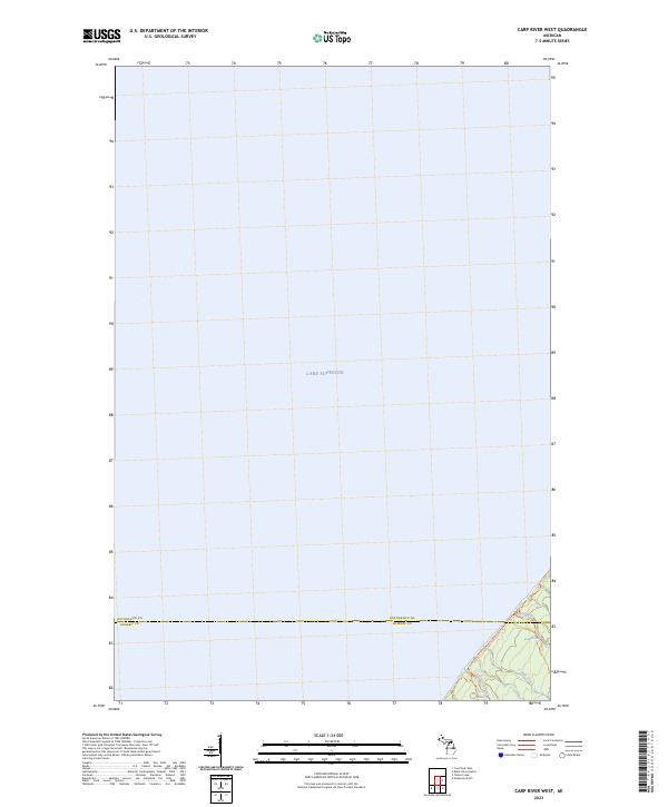
2023 Carp River West
Gogebic County, MI
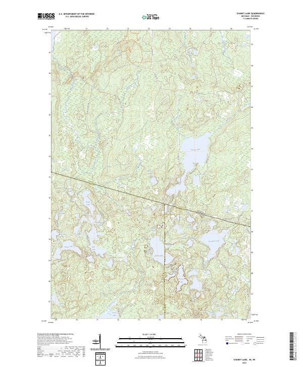
2023 Chaney Lake
Gogebic County, MI
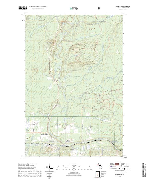
2023 Copper Peak
Gogebic County, MI
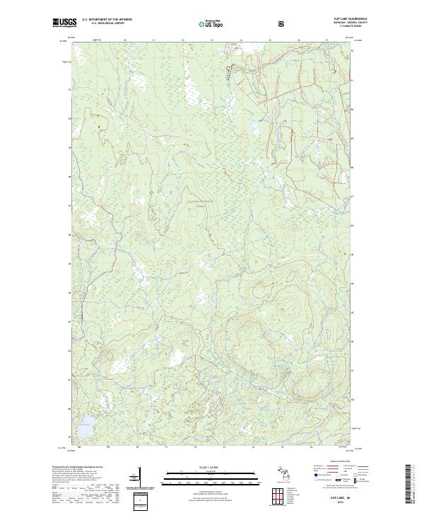
2023 Cup Lake
Gogebic County, MI
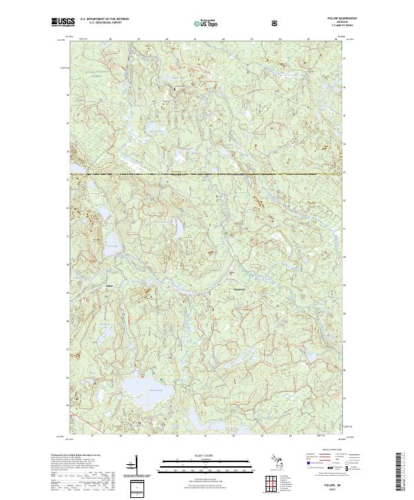
2023 Fuller
Gogebic County, MI
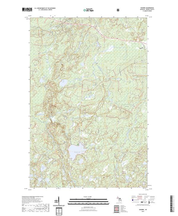
2023 Gogebic
Gogebic County, MI
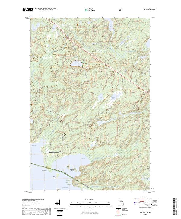
2023 Imp Lake
Gogebic County, MI
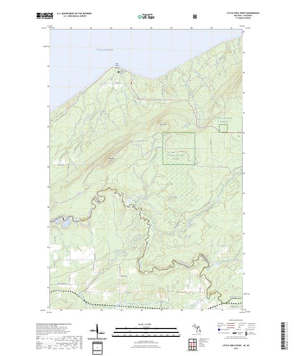
2023 Little Girls Point
Gogebic County, MI
2023 Marshall Creek
Gogebic County, MI
2023 Nighthawk Creek
Gogebic County, MI
2023 North Ironwood
Gogebic County, MI
2023 Stateline Lake
Gogebic County, MI
2023 Thayer
Gogebic County, MI
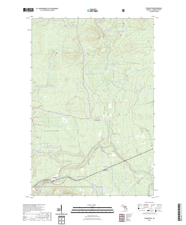
2023 Thomaston
Gogebic County, MI
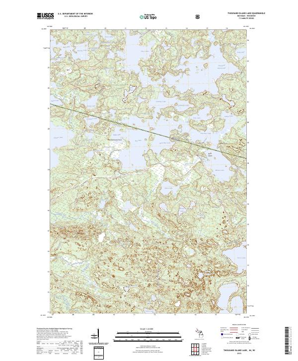
2023 Thousand Island Lake
Gogebic County, MI
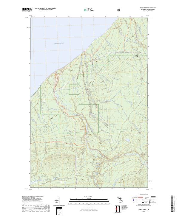
2023 Tiebel Creek
Gogebic County, MI
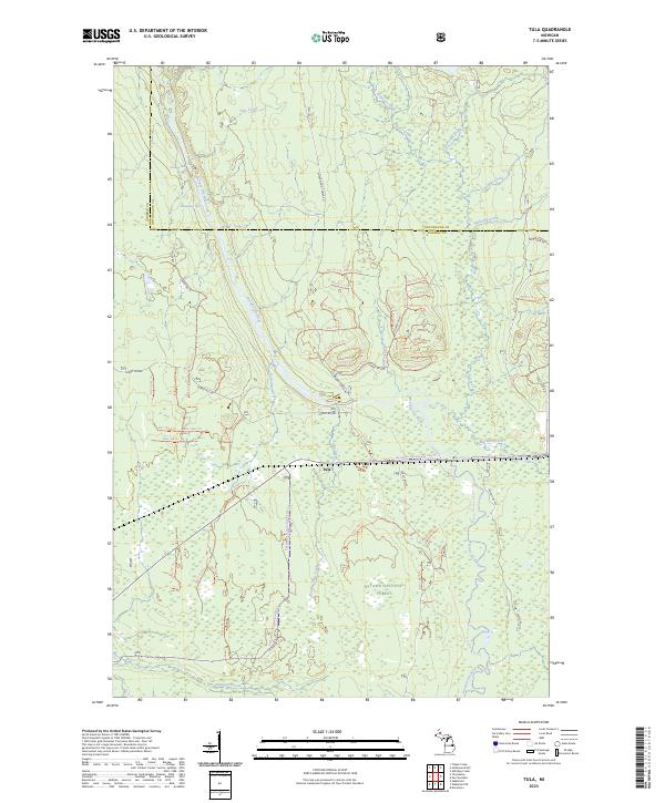
2023 Tula
Gogebic County, MI
2023 Wakefield NE
Gogebic County, MI
Featured Locations
- Vilas County, WI
- Presque Isle, WI
- Bessemer Township, MI
- Marenisco Township, MI
- Wellington, Marenisco Township