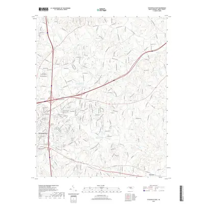
2019 Map of Statesville East
USGS Topo · Published 2019About this map
Statesville serves as the primary urban center in this Iredell County landscape, where modern transportation corridors intersect with older land divisions. The eastern reaches of the city give way to a network of creeks, most notably the meandering paths of Fifth Cr and Fourth Creek. These waterways, along with smaller tributaries like Beaver Cr and Bell Br, define the local drainage patterns and historically influenced the placement of rural homesteads and family farms. Significant landmarks such as Signal Hill and the Belmont Cem provide points of interest for those researching local genealogy or geographic changes.
Find a feature on this map
212 named features on this map. Tap any name to fly to it.
Don’t see what you’re looking for? This feature index may not catch every label — zoom into the map to look around manually.
Map Details
Editions of this 2019 Statesville East Map
This is the sole edition of this map. No revisions or reprints were ever made.
Other maps of this area

1893 · Statesville
USGS Topo · 1:125,000

1953 · Charlotte
USGS Topo · 1:250,000

1954 · Charlotte
USGS Topo · 1:250,000

1960 · Charlotte
USGS Topo · 1:250,000

1962 · Charlotte
USGS Topo · 1:250,000

1969 · Cool Springs
USGS Topo · 1:24,000

1969 · Shepherds
USGS Topo · 1:24,000

1969 · Troutman
USGS Topo · 1:24,000
1969 · Harmony
USGS Topo · 1:24,000
1969 · Calahaln
USGS Topo · 1:24,000