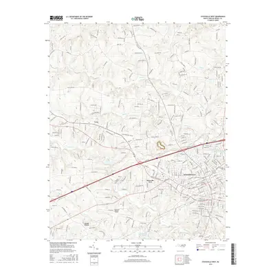
2016 Map of Statesville West
USGS Topo · Published 2016About this map
Statesville serves as the focal point of this North Carolina survey, showing the city's western expansion and the surrounding rural-industrial landscape of Iredell County. The core of the settlement is anchored by Mitchell Community College and historic sites like Oakwood Cemetery, while the western edge is defined by the Statesville Regional Airport and smaller residential pockets such as Statesville West and Loray. The landscape is etched by a series of parallel waterways, including Fourth Creek, Third Creek, and Back Creek, which dictate the local topography and road layout.
Find a feature on this map
111 named features on this map. Tap any name to fly to it.
Don’t see what you’re looking for? This feature index may not catch every label — zoom into the map to look around manually.
Map Details
Editions of this 2016 Statesville West Map
This is the sole edition of this map. No revisions or reprints were ever made.
Other maps of this area

1893 · Statesville
USGS Topo · 1:125,000

1895 · Hickory
USGS Topo · 1:125,000

1953 · Charlotte
USGS Topo · 1:250,000

1954 · Charlotte
USGS Topo · 1:250,000

1960 · Charlotte
USGS Topo · 1:250,000

1962 · Charlotte
USGS Topo · 1:250,000

1969 · Shepherds
USGS Topo · 1:24,000

1969 · Troutman
USGS Topo · 1:24,000
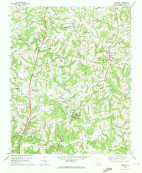
1969 · Harmony
USGS Topo · 1:24,000

1969 · Statesville West
USGS Topo · 1:24,000