
1969 Map of Statesville West
USGS Topo · Published 1972About this map
The western edges of Statesville dominate the landscape in the late 1960s, showing a growing Piedmont community defined by its educational and industrial hubs. The presence of Mitchell College and several local schools, including Morningside High Sch and Avery Sherrill Sch, highlights the importance of the town as a regional center. The Southern railroad line cuts through the southern portion of the area, connecting the town to rural outposts like Loray and the Statesville Municipal Airport.
Find a feature on this map
91 named features on this map. Tap any name to fly to it.
Don’t see what you’re looking for? This feature index may not catch every label — zoom into the map to look around manually.
Map Details
Editions of this 1969 Statesville West Map
This is the sole edition of this map. No revisions or reprints were ever made.
Other maps of this area

1893 · Statesville
USGS Topo · 1:125,000

1895 · Hickory
USGS Topo · 1:125,000

1953 · Charlotte
USGS Topo · 1:250,000

1954 · Charlotte
USGS Topo · 1:250,000

1960 · Charlotte
USGS Topo · 1:250,000

1962 · Charlotte
USGS Topo · 1:250,000

1969 · Shepherds
USGS Topo · 1:24,000

1969 · Troutman
USGS Topo · 1:24,000
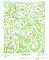
1969 · Harmony
USGS Topo · 1:24,000
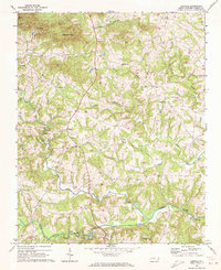
1969 · Central
USGS Topo · 1:24,000