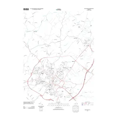
2013 Map of Staunton
USGS Topo · Published 2013About this map
Middle River and its various tributaries, including Moffett Br and Bell Cr, define the drainage and early industrial layout of this Shenandoah Valley landscape. The prominence of milling history is evident through the naming of Franks Mill, Quicks Mill, and Millbrook, indicating where water power once anchored local commerce and neighborhood identity. Two distinctive landmarks, Betsey Bell and Mary Gray, stand as prominent high points overlooking the urban expansion of the city.
Find a feature on this map
242 named features on this map. Tap any name to fly to it.
Don’t see what you’re looking for? This feature index may not catch every label — zoom into the map to look around manually.
Map Details
Editions of this 2013 Staunton Map
This is the sole edition of this map. No revisions or reprints were ever made.
Other maps of this area

1892 · Harrisonburg
USGS Topo · 1:125,000

1894 · Staunton
USGS Topo · 1:125,000

1934 · Waynesboro
USGS Topo · 1:48,000

1939 · Waynesboro
USGS Topo · 1:62,500

1941 · Harrisonburg
USGS Topo · 1:62,500

1943 · Harrisonburg
USGS Topo · 1:62,500

1944 · Parnassus
USGS Topo · 1:62,500

1944 · Staunton
USGS Topo · 1:62,500

1947 · Staunton
USGS Topo · 1:62,500

1947 · Parnassus
USGS Topo · 1:62,500