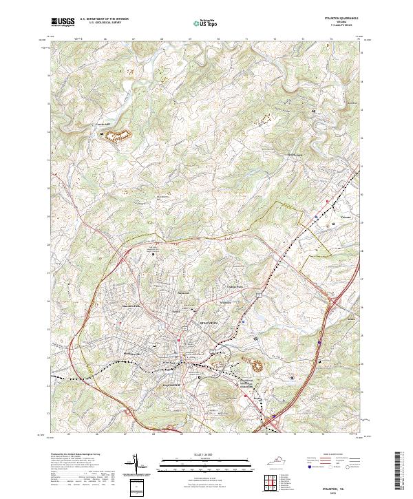
2022 Map of Staunton
USGS Topo · Published 2022About this map
Staunton serves as the focal point of this Augusta County survey, where the historic core is framed by distinctive residential and institutional districts. The grounds of Mary Baldwin College and the George M Cochran Judicial Center anchor the downtown area, while surrounding neighborhoods like Selma, West End, and Dogwood Hill illustrate the city's outward growth. To the south, the prominent twin peaks of Betsey Bell and Mary Gray overlook the valley, providing a constant natural reference point for the community.
Find a feature on this map
196 named features on this map. Tap any name to fly to it.
Don’t see what you’re looking for? This feature index may not catch every label — zoom into the map to look around manually.
Map Details
Editions of this 2022 Staunton Map
This is the sole edition of this map. No revisions or reprints were ever made.
Other maps of this area

1892 · Harrisonburg
USGS Topo · 1:125,000

1894 · Staunton
USGS Topo · 1:125,000

1934 · Waynesboro
USGS Topo · 1:48,000

1939 · Waynesboro
USGS Topo · 1:62,500

1941 · Harrisonburg
USGS Topo · 1:62,500

1943 · Harrisonburg
USGS Topo · 1:62,500

1944 · Parnassus
USGS Topo · 1:62,500

1944 · Staunton
USGS Topo · 1:62,500

1947 · Staunton
USGS Topo · 1:62,500

1947 · Parnassus
USGS Topo · 1:62,500