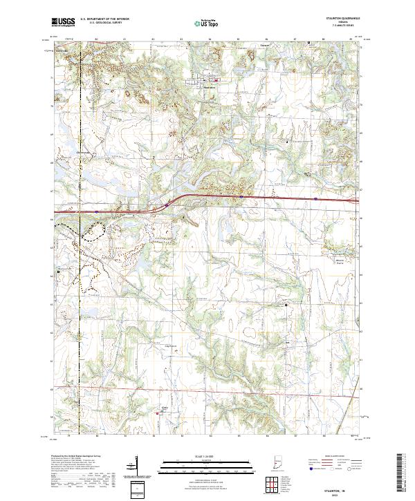
2022 Map of Staunton
USGS Topo · Published 2022About this map
The town of Staunton serves as a central hub in this western Indiana landscape, where the flatlands of Wheeler Prairie and Clay Prairie meet a network of small watercourses. The terrain is defined by the winding paths of Honey Cr and Birch Cr, alongside the drainages of Big Slough and Crooked Cr. This survey captures the transition between the small-town grids of Seelyville and Cory and the rural agricultural tracts that dominate the county line.
Find a feature on this map
58 named features on this map. Tap any name to fly to it.
Don’t see what you’re looking for? This feature index may not catch every label — zoom into the map to look around manually.
Map Details
Editions of this 2022 Staunton Map
This is the sole edition of this map. No revisions or reprints were ever made.
Other maps of this area

1908 · Clay City
USGS Topo · 1:48,000

1910 · Clay City
USGS Topo · 1:62,500

1940 · Lewis
USGS Topo · 1:24,000

1941 · Seelyville
USGS Topo · 1:24,000

1950 · Rosedale
USGS Topo · 1:24,000

1950 · Brazil East
USGS Topo · 1:24,000

1950 · Brazil West
USGS Topo · 1:24,000
1952 · Lewis
USGS Topo · 1:24,000

1952 · Seelyville
USGS Topo · 1:24,000

1953 · Indianapolis
USGS Topo · 1:250,000