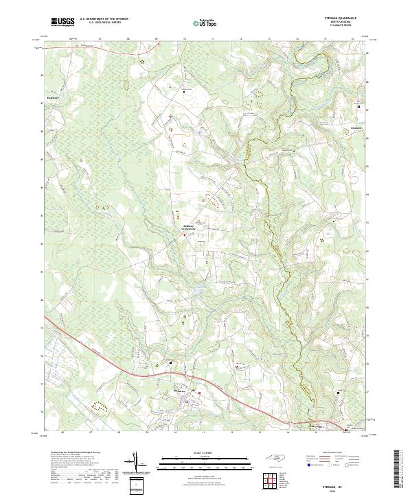
2022 Map of Stedman
USGS Topo · Published 2022About this map
The town of Stedman serves as the central hub of this eastern North Carolina landscape, where the headwaters of the South River define the boundary between Cumberland and Sampson counties. This survey illustrates a rural settlement pattern established along historic thoroughfares like Clinton Rd and Goldsboro Rd, which connect the town to surrounding communities like Autryville and Bethany Crossroads. The hydrology of the region is notably shaped by the pocosin ecosystems, including Bruce Pocosin and Piney Pocosin, and the presence of several millponds such as Maxwell Millpond and Gaines Millpond. For local historians and genealogists, the map identifies numerous family burial sites, including the Fisher Cem, McCall Cem, and Autry Family Cem, providing precise locations for ancestral research in this corner of the state.
Find a feature on this map
110 named features on this map. Tap any name to fly to it.
Don’t see what you’re looking for? This feature index may not catch every label — zoom into the map to look around manually.
Map Details
Editions of this 2022 Stedman Map
This is the sole edition of this map. No revisions or reprints were ever made.
Other maps of this area

1948 · Fayetteville
USGS Topo · 1:62,500

1948 · Slocomb
USGS Topo · 1:24,000

1949 · Vander
USGS Topo · 1:24,000

1950 · Slocomb
USGS Topo · 1:24,000

1953 · Florence
USGS Topo · 1:250,000

1953 · Raleigh
USGS Topo · 1:250,000

1954 · Florence
USGS Topo · 1:250,000

1954 · Raleigh
USGS Topo · 1:250,000

1957 · Vander
USGS Topo · 1:24,000

1957 · Fayetteville
USGS Topo · 1:62,500