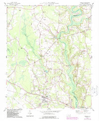
1974 Map of Stedman
USGS Topo · Published 1987About this map
The South River serves as the dividing line between Cumberland and Sampson counties in this mid-1970s landscape, which transitioned through a period of modernization as seen in the 1987 photo-revisions. The village of Stedman is the primary hub, situated near the headwaters of Sandy Creek and Buck Creek. The map reveals a deeply rooted rural community defined by its numerous neighborhood churches and family burial grounds, including Bethany Ch, China Grove Ch, and Williams Cem.
Find a feature on this map
37 named features on this map. Tap any name to fly to it.
Don’t see what you’re looking for? This feature index may not catch every label — zoom into the map to look around manually.
Map Details
Editions of this 1974 Stedman Map
2 editions found
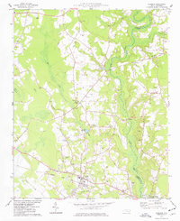
Other maps of this area

1948 · Fayetteville
USGS Topo · 1:62,500

1948 · Slocomb
USGS Topo · 1:24,000

1949 · Vander
USGS Topo · 1:24,000

1950 · Slocomb
USGS Topo · 1:24,000

1953 · Florence
USGS Topo · 1:250,000

1953 · Raleigh
USGS Topo · 1:250,000

1954 · Florence
USGS Topo · 1:250,000

1954 · Raleigh
USGS Topo · 1:250,000

1957 · Vander
USGS Topo · 1:24,000

1957 · Fayetteville
USGS Topo · 1:62,500