
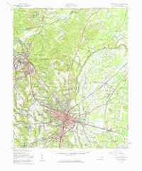
1957 Map of Fayetteville
USGS Topo · Published 1961About this map
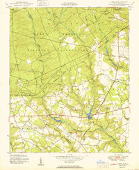
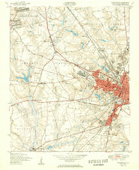
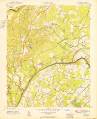
The Cape Fear River serves as the central axis of this mid-century portrait, winding through a landscape transitioning from the urban density of Fayetteville to the sprawling Fort Bragg Military Reservation. The map captures the significant military presence and its surrounding suburbs, including Spring Lake, Manchester, and Bonnie Doone. This era is marked by clear rail-oriented growth, with the Atlantic Coast Line and Norfolk Southern corridors linking riverside industrial sites and early subdivisions. Away from the river, the landscape is dotted with rural institutions like Central High Sch and Gardiner Chapel, while the Veterans Hospital and Cape Fear Valley Hospital signify the city's role as a regional healthcare hub. The map's detail extends to local landmarks such as the Slocomb Lookout Tower and smaller settlements like Lakedale and Beard.
Find a feature on this map
82 named features on this map. Tap any name to fly to it.
Don’t see what you’re looking for? This feature index may not catch every label — zoom into the map to look around manually.
Map Details
Editions of this 1957 Fayetteville Map
2 editions found
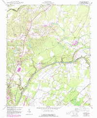
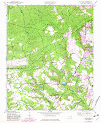
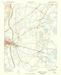
Other maps of this area

1948 · Fayetteville
USGS Topo · 1:62,500

1948 · Clifdale
USGS Topo · 1:62,500
1948 · Slocomb
USGS Topo · 1:24,000
1948 · Clifdale
USGS Topo · 1:24,000
1949 · Vander
USGS Topo · 1:24,000
1950 · Clifdale
USGS Topo · 1:24,000
1950 · Fayetteville
USGS Topo · 1:24,000

1950 · Manchester
USGS Topo · 1:24,000
1950 · Slocomb
USGS Topo · 1:24,000

1951 · Clifdale
USGS Topo · 1:62,500