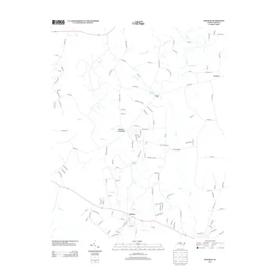
2013 Map of Stedman
USGS Topo · Published 2013About this map
Stedman serves as the primary population center on this landscape, situated along a transportation corridor that includes Route 24. The town's grid of residential streets like Front St and Jaycee St transitions into a network of rural roads such as Morgan Brown Rd and Clement Ln. The topography is defined by significant wetland systems and slow-moving water bodies, most notably the S River which forms much of the eastern boundary. The presence of Gainey Millpond and Maxwell Millpond suggests a history of water management and milling in the region, while crossings like Faircloths Bridge and Maxwell Bridge mark key transit points across the river and its swampy tributaries. Smaller settlements like Bethany Crossroads and Clement anchor the surrounding countryside, which is heavily crisscrossed by creeks including Big Cr, Buck Cr, and Sandy Cr.
Find a feature on this map
119 named features on this map. Tap any name to fly to it.
Don’t see what you’re looking for? This feature index may not catch every label — zoom into the map to look around manually.
Map Details
Editions of this 2013 Stedman Map
This is the sole edition of this map. No revisions or reprints were ever made.
Other maps of this area

1948 · Fayetteville
USGS Topo · 1:62,500

1948 · Slocomb
USGS Topo · 1:24,000

1949 · Vander
USGS Topo · 1:24,000

1950 · Slocomb
USGS Topo · 1:24,000

1953 · Florence
USGS Topo · 1:250,000

1953 · Raleigh
USGS Topo · 1:250,000

1954 · Florence
USGS Topo · 1:250,000

1954 · Raleigh
USGS Topo · 1:250,000

1957 · Vander
USGS Topo · 1:24,000

1957 · Fayetteville
USGS Topo · 1:62,500