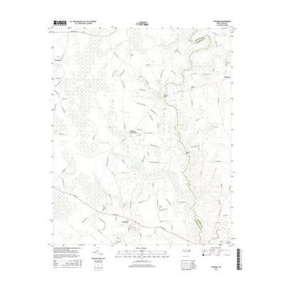
2016 Map of Stedman
USGS Topo · Published 2016About this map
Bethany Crossroads sits central to this coastal plain landscape, marking a prominent junction in Cumberland County where local rural life persists alongside significant wetland features. The eastern boundary is defined by the S River, which meanders through a network of swampy lowlands including Browns Swamp and Jones Swamp. These waterways once supported a milling economy, evidenced by the presence of Maxwell Millpond and Gainey Millpond along the river's course.
Find a feature on this map
112 named features on this map. Tap any name to fly to it.
Don’t see what you’re looking for? This feature index may not catch every label — zoom into the map to look around manually.
Map Details
Editions of this 2016 Stedman Map
This is the sole edition of this map. No revisions or reprints were ever made.
Other maps of this area

1948 · Fayetteville
USGS Topo · 1:62,500

1948 · Slocomb
USGS Topo · 1:24,000

1949 · Vander
USGS Topo · 1:24,000

1950 · Slocomb
USGS Topo · 1:24,000

1953 · Florence
USGS Topo · 1:250,000

1953 · Raleigh
USGS Topo · 1:250,000

1954 · Florence
USGS Topo · 1:250,000

1954 · Raleigh
USGS Topo · 1:250,000

1957 · Vander
USGS Topo · 1:24,000

1957 · Fayetteville
USGS Topo · 1:62,500