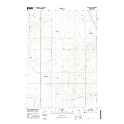
2016 Map of Steele Center
USGS Topo · Published 2016About this map
The agricultural landscape of Steele Center and surrounding Steele County townships is defined by a grid of rural routes and small, historically ethnic settlements. In this 2016 survey, the land is marked by small community hubs such as Litomysl, Summit, and Union, which evolved around farming and early crossroads commerce. The Straight River cuts through the western portion of the quadrangle near River Point, providing a natural break in the otherwise orderly section lines. A notable concentration of cemeteries reflects the area's diverse immigrant heritage, including the Bohemian Cem, Danish Cem, and Holy Trinity Cem. These burial grounds, along with Oak Mound Cem and the Steele Center Cem, offer vital locations for genealogical research in this central Minnesota region, where family names are often tied to these specific rural neighborhoods.
Find a feature on this map
35 named features on this map. Tap any name to fly to it.
Don’t see what you’re looking for? This feature index may not catch every label — zoom into the map to look around manually.
Map Details
Editions of this 2016 Steele Center Map
This is the sole edition of this map. No revisions or reprints were ever made.
Other maps of this area

1953 · Saint Paul
USGS Topo · 1:250,000

1954 · Mason City
USGS Topo · 1:250,000

1957 · Mason City
USGS Topo · 1:250,000

1958 · Mason City
USGS Topo · 1:250,000

1959 · Saint Paul
USGS Topo · 1:250,000

1962 · Owatonna
USGS Topo · 1:24,000

1962 · Owatonna SE
USGS Topo · 1:24,000

1962 · Saco
USGS Topo · 1:24,000

1967 · Steele Center
USGS Topo · 1:24,000

1967 · Bixby
USGS Topo · 1:24,000