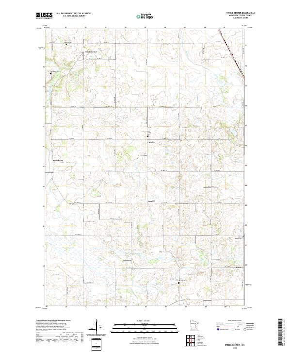
2022 Map of Steele Center
USGS Topo · Published 2022About this map
Steele Center and the surrounding agricultural landscape of Steele County are documented here as they appeared in the early 21st century. The map reveals a pattern of rural settlement deeply rooted in immigrant heritage, evidenced by a high density of denominational and ethnic burial grounds. From the Steele Center Lutheran Cem in the north to the Bohemian Cem and Danish Baptist Cem in the south, these sites preserve the genealogical history of the area's early families. The terrain is defined by the winding course of the Straight River and the smaller Turtle Creek, which cut through a network of section roads such as Co HWY 3 and Co HWY 4. Small crossroads communities like Litomysl, Summit, and Union remain as markers of the local economy and social centers in this well-ordered prairie landscape.
Find a feature on this map
40 named features on this map. Tap any name to fly to it.
Don’t see what you’re looking for? This feature index may not catch every label — zoom into the map to look around manually.
Map Details
Editions of this 2022 Steele Center Map
This is the sole edition of this map. No revisions or reprints were ever made.
Other maps of this area

1953 · Saint Paul
USGS Topo · 1:250,000

1954 · Mason City
USGS Topo · 1:250,000

1957 · Mason City
USGS Topo · 1:250,000

1958 · Mason City
USGS Topo · 1:250,000

1959 · Saint Paul
USGS Topo · 1:250,000

1962 · Owatonna
USGS Topo · 1:24,000

1962 · Owatonna SE
USGS Topo · 1:24,000

1962 · Saco
USGS Topo · 1:24,000

1967 · Steele Center
USGS Topo · 1:24,000

1967 · Bixby
USGS Topo · 1:24,000