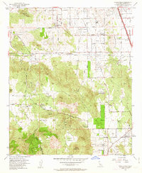
1953 Map of Steele Peak
USGS Topo · Published 1963About this map
March Air Force Base occupies the northeastern corner of this Riverside County landscape, illustrating the military's footprint in Southern California during the early 1950s. The map reveals a transition from these institutional grounds to a scattered agricultural and ranching interior, marked by family-named holdings such as the Morris Washington Ranch, Rancho de las Piedras, and Wagonwheel Ranch. This era of development is anchored by the presence of the Colorado River Aqueduct, including both its surface path and the Colorado River Aqueduct Tunnel traversing the southern hills.
Find a feature on this map
43 named features on this map. Tap any name to fly to it.
Don’t see what you’re looking for? This feature index may not catch every label — zoom into the map to look around manually.
Map Details
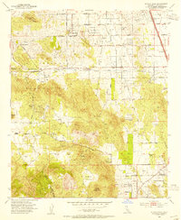
Editions of this 1953 Steele Peak Map
2 editions found
Other maps of this area

1901 · Southern California Sheet No. 1
USGS Topo · 1:250,000

1901 · Elsinore
USGS Topo · 1:125,000

1901 · Riverside
USGS Topo · 1:62,500

1904 · Southern California Sheet No. 1
USGS Topo · 1:250,000

1942 · Lake Elsinore
USGS Topo · 1:62,500
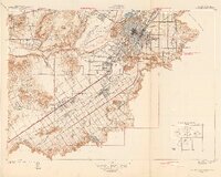
1942 · Riverside and Vicinity
USGS Topo · 1:31,680

1942 · Murrieta
USGS Topo · 1:62,500

1942 · Riverside
USGS Topo · 1:62,500

1942 · Perris
USGS Topo · 1:62,500

1943 · Perris
USGS Topo · 1:62,500