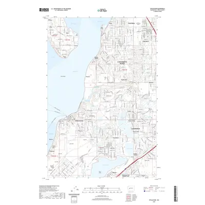
2020 Map of Steilacoom
USGS Topo · Published 2020About this map
The coastal waters of Puget Sound and The Narrows define this Pierce County landscape, where the historic shoreline meets the developed suburbs of Tacoma. The town of Steilacoom serves as a central hub for marine transport, acting as the terminus for the Steilacoom Ferry and connections to the McNeil Island Ferry. Moving inland, the geography is marked by a series of prominent glacial lakes, including Steilacoom Lake, Gravelly Lake, and American Lake, which have historically shaped the settlement patterns of Lakewood and University Place.
Find a feature on this map
73 named features on this map. Tap any name to fly to it.
Don’t see what you’re looking for? This feature index may not catch every label — zoom into the map to look around manually.
Map Details
Editions of this 2020 Steilacoom Map
This is the sole edition of this map. No revisions or reprints were ever made.
Other maps of this area

1897 · Tacoma
USGS Topo · 1:125,000

1900 · Tacoma
USGS Topo · 1:125,000

1940 · Anderson Island
USGS Topo · 1:62,500

1941 · Tacoma South
USGS Topo · 1:62,500

1942 · Gig Harbor
USGS Topo · 1:62,500

1943 · Gig Harbor
USGS Topo · 1:62,500

1944 · Tacoma South
USGS Topo · 1:62,500

1948 · Anderson Island
USGS Topo · 1:62,500

1948 · Fort Lewis
USGS Topo · 1:24,000

1948 · Nisqually
USGS Topo · 1:24,000