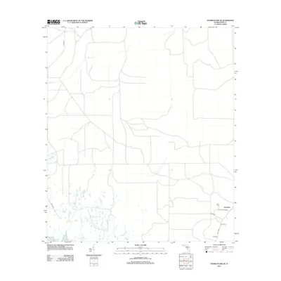
2012 Map of Steinhatchee SE
USGS Topo · Published 2012About this map
Horseshoe and the low-lying coastal plains of Dixie County meet the Gulf of Mexico in this 2012 survey. The landscape is defined by a dense network of local roads and watercourses that drain into the marshy flats near the coast. Water bodies like Rocky Cr and Little Rocky Cr wind through the terrain, illustrating the typical hydrology of this portion of the Florida Big Bend. The area maintains a quiet, rural character focused on small settlements and family landmarks. Genealogists and local historians will find the Butler Cem particularly notable, located near the intersection of Butler Cemetery Rd and Butler Rd. The presence of interestingly named thoroughfares like Blimp Rd and Douglas Ln provides a trace of local property lines and 21st-century infrastructure in a region where the shoreline remains the dominant geographic influence.
Find a feature on this map
11 named features on this map. Tap any name to fly to it.
Don’t see what you’re looking for? This feature index may not catch every label — zoom into the map to look around manually.
Map Details
Editions of this 2012 Steinhatchee SE Map
This is the sole edition of this map. No revisions or reprints were ever made.
Other maps of this area

1954 · Steinhatchee SW
USGS Topo · 1:24,000

1954 · Cross City West
USGS Topo · 1:24,000

1954 · Jena
USGS Topo · 1:24,000

1954 · Steinhatchee
USGS Topo · 1:24,000

1954 · Steinhatchee SE
USGS Topo · 1:24,000

1954 · Cross City SW
USGS Topo · 1:24,000

1954 · Horseshoe Beach
USGS Topo · 1:24,000

1954 · Gainesville
USGS Topo · 1:250,000

1955 · Shired Island
USGS Topo · 1:24,000

1958 · Gainesville
USGS Topo · 1:250,000