
1954 Map of Steinhatchee SW
USGS Topo · Published 1955About this map
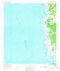
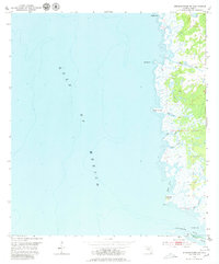
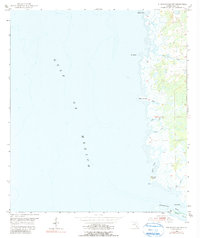
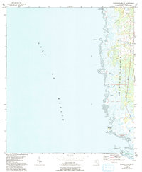
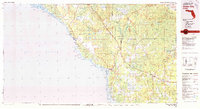
Pepperfish Keys and Big Grassy Island anchor the southern reaches of this mid-century coastal survey along the Gulf of Mexico. The shoreline of Dixie County is defined by an intricate network of tidal creeks and marshes, where freshwater drainage from the interior meets the sea through narrow channels like Rocky Creek, Sink Creek, and Cow Creek. This environment, mapped using 1951 aerial photography and 1954 plane-table surveys, reveals a landscape dominated by sawgrass and mangrove-like wetlands, with few signs of human infrastructure beyond scattered benchmarks.
Find a feature on this map
14 named features on this map. Tap any name to fly to it.
Don’t see what you’re looking for? This feature index may not catch every label — zoom into the map to look around manually.
Map Details
Editions of this 1954 Steinhatchee SW Map
5 editions found
Other maps of this area

1954 · Jena
USGS Topo · 1:24,000

1954 · Steinhatchee
USGS Topo · 1:24,000

1954 · Steinhatchee SE
USGS Topo · 1:24,000

1954 · Horseshoe Beach
USGS Topo · 1:24,000

1954 · Crooked Point
USGS Topo · 1:24,000

1954 · Gainesville
USGS Topo · 1:250,000

1958 · Gainesville
USGS Topo · 1:250,000

1959 · Gainesville
USGS Topo · 1:250,000

1978 · Cedar Keys
USGS Topo · 1:100,000
1978 · Cross City
USGS Topo · 1:100,000