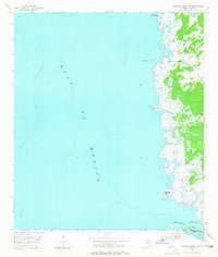
1954 Map of Steinhatchee SW
USGS Topo · Published 1965About this map
The Gulf of Mexico shoreline in Dixie County defines this mid-century maritime study, showcasing a complex network of coastal marshes and tidal inlets. This segment of the Florida coast is characterized by a labyrinth of water features including Rocky Creek, Days Creek, and Sink Creek that snake through the wetlands before reaching the open water. The map records specific coastal landmarks such as Hardy Point in the north and the southern reaches near Halfway Point.
Find a feature on this map
17 named features on this map. Tap any name to fly to it.
Don’t see what you’re looking for? This feature index may not catch every label — zoom into the map to look around manually.
Map Details
Editions of this 1954 Steinhatchee SW Map
5 editions found
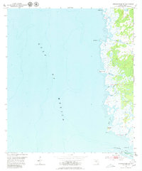
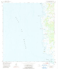
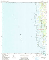
Other maps of this area

1954 · Steinhatchee SW
USGS Topo · 1:24,000

1954 · Jena
USGS Topo · 1:24,000

1954 · Steinhatchee
USGS Topo · 1:24,000

1954 · Steinhatchee SE
USGS Topo · 1:24,000

1954 · Horseshoe Beach
USGS Topo · 1:24,000

1954 · Crooked Point
USGS Topo · 1:24,000

1954 · Gainesville
USGS Topo · 1:250,000

1958 · Gainesville
USGS Topo · 1:250,000

1959 · Gainesville
USGS Topo · 1:250,000

1978 · Cedar Keys
USGS Topo · 1:100,000