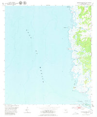
1954 Map of Steinhatchee SW
USGS Topo · Published 1980About this map
The Gulf of Mexico shoreline in Dixie County is defined by a complex network of coastal wetlands and tidal creeks as they appeared in the early 1950s. The marshy landscape is punctuated by numerous named points and islands, including Hardy Point at the northern edge and Bowlegs Point further south near Bull Cove. This low-lying terrain transitions from the open sea through a series of islands such as Bird Island, Tater Island, and Big Grassy Island.
Find a feature on this map
15 named features on this map. Tap any name to fly to it.
Don’t see what you’re looking for? This feature index may not catch every label — zoom into the map to look around manually.
Map Details
Editions of this 1954 Steinhatchee SW Map
5 editions found
Other maps of this area

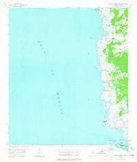
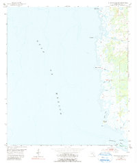
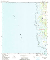
1954 · Steinhatchee SW
USGS Topo · 1:24,000

1954 · Jena
USGS Topo · 1:24,000

1954 · Steinhatchee
USGS Topo · 1:24,000

1954 · Steinhatchee SE
USGS Topo · 1:24,000

1954 · Horseshoe Beach
USGS Topo · 1:24,000

1954 · Crooked Point
USGS Topo · 1:24,000

1954 · Gainesville
USGS Topo · 1:250,000

1958 · Gainesville
USGS Topo · 1:250,000

1959 · Gainesville
USGS Topo · 1:250,000

1978 · Cedar Keys
USGS Topo · 1:100,000