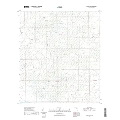
2018 Map of Steinhatchee SE
USGS Topo · Published 2018About this map
The low-lying wetlands of Dixie County dominate this 2018 survey, characterized by an extensive network of named swamps and tidal creeks. Reaching toward the Gulf of Mexico, the landscape is defined by vast tracts such as Rocky Creek Swamp, Blue Lake Swamp, and Pumpkin Swamp. These areas are interlaced with watercourses like Rocky Cr and Blue Rock Cr, illustrating the hydrological complexity of the Florida coastline.
Find a feature on this map
86 named features on this map. Tap any name to fly to it.
Don’t see what you’re looking for? This feature index may not catch every label — zoom into the map to look around manually.
Map Details
Editions of this 2018 Steinhatchee SE Map
This is the sole edition of this map. No revisions or reprints were ever made.
Other maps of this area

1954 · Steinhatchee SW
USGS Topo · 1:24,000

1954 · Cross City West
USGS Topo · 1:24,000

1954 · Jena
USGS Topo · 1:24,000

1954 · Steinhatchee
USGS Topo · 1:24,000

1954 · Steinhatchee SE
USGS Topo · 1:24,000

1954 · Cross City SW
USGS Topo · 1:24,000

1954 · Horseshoe Beach
USGS Topo · 1:24,000

1954 · Gainesville
USGS Topo · 1:250,000

1955 · Shired Island
USGS Topo · 1:24,000

1958 · Gainesville
USGS Topo · 1:250,000