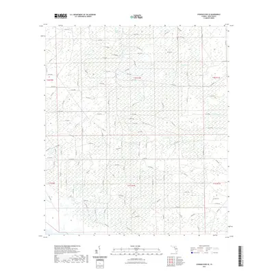
2021 Map of Steinhatchee SE
USGS Topo · Published 2021About this map
Low-lying wetlands and seasonal drainage basins dominate this Dixie County landscape, defined by an intricate network of named swamps and bays. Pumpkin Swamp and Bear Bay Swamp sit at the center of this drainage system, while the vast Tiger Bay and Cedar Swamp transition into the surrounding pine flatwoods. The terrain is characterized by subtle elevation changes that dictate the flow of Rocky Cr and Cow Cr toward the Gulf coast.
Find a feature on this map
108 named features on this map. Tap any name to fly to it.
Don’t see what you’re looking for? This feature index may not catch every label — zoom into the map to look around manually.
Map Details
Editions of this 2021 Steinhatchee SE Map
This is the sole edition of this map. No revisions or reprints were ever made.
Other maps of this area

1954 · Steinhatchee SW
USGS Topo · 1:24,000

1954 · Cross City West
USGS Topo · 1:24,000

1954 · Jena
USGS Topo · 1:24,000

1954 · Steinhatchee
USGS Topo · 1:24,000

1954 · Steinhatchee SE
USGS Topo · 1:24,000

1954 · Cross City SW
USGS Topo · 1:24,000

1954 · Horseshoe Beach
USGS Topo · 1:24,000

1954 · Gainesville
USGS Topo · 1:250,000

1955 · Shired Island
USGS Topo · 1:24,000

1958 · Gainesville
USGS Topo · 1:250,000