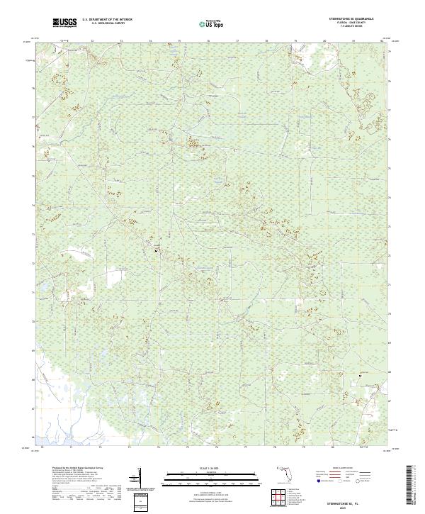
2025 Map of Steinhatchee SE
USGS Topo · Published 2025About this map
Rocky Creek Swamp and a series of interconnected wetlands define the interior of Dixie County in this recent survey. The landscape is characterized by its significant hydrography, where Rocky Creek and Little Rocky Creek move through a low-lying network of named basins including Blue Lake Swamp, Bear Bay Swamp, and Pumpkin Swamp. This environment is punctuated by a dense grid of local roads, such as Co RD 361 and SW 400 Ave, which navigate around these natural water-retention areas. Genealogists and local historians can find burial sites like Bowlegs Cem and Butler Cem, which remain as fixed markers of the community among the shifting hydrology of places like Cedar Swamp and Tiger Bay. The map provides a clear record of how modern infrastructure interacts with the classic Florida karst and swamp terrain.
Find a feature on this map
118 named features on this map. Tap any name to fly to it.
Don’t see what you’re looking for? This feature index may not catch every label — zoom into the map to look around manually.
Map Details
Editions of this 2025 Steinhatchee SE Map
This is the sole edition of this map. No revisions or reprints were ever made.
Other maps of this area

1954 · Steinhatchee SW
USGS Topo · 1:24,000

1954 · Cross City West
USGS Topo · 1:24,000

1954 · Jena
USGS Topo · 1:24,000

1954 · Steinhatchee
USGS Topo · 1:24,000

1954 · Steinhatchee SE
USGS Topo · 1:24,000

1954 · Cross City SW
USGS Topo · 1:24,000

1954 · Horseshoe Beach
USGS Topo · 1:24,000

1954 · Gainesville
USGS Topo · 1:250,000

1955 · Shired Island
USGS Topo · 1:24,000

1958 · Gainesville
USGS Topo · 1:250,000