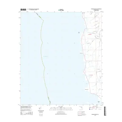
2015 Map of Steinhatchee SW
USGS Topo · Published 2015About this map
The salt marshes and tidal inlets of the Gulf of Mexico dominate this coastline south of the Steinhatchee River. The landscape is defined by a series of low-lying coastal features including Hardy Point, Bowlegs Point, and Halfway Point, which mark the interface between the open water and the interior swamp. Small outcroppings and hammocks such as Bird Island and Tater Island rise slightly above the wetlands, providing distinct navigational landmarks along the shore.
Find a feature on this map
53 named features on this map. Tap any name to fly to it.
Don’t see what you’re looking for? This feature index may not catch every label — zoom into the map to look around manually.
Map Details
Editions of this 2015 Steinhatchee SW Map
This is the sole edition of this map. No revisions or reprints were ever made.
Other maps of this area

1954 · Steinhatchee SW
USGS Topo · 1:24,000

1954 · Jena
USGS Topo · 1:24,000

1954 · Steinhatchee
USGS Topo · 1:24,000

1954 · Steinhatchee SE
USGS Topo · 1:24,000

1954 · Horseshoe Beach
USGS Topo · 1:24,000

1954 · Crooked Point
USGS Topo · 1:24,000

1954 · Gainesville
USGS Topo · 1:250,000

1958 · Gainesville
USGS Topo · 1:250,000

1959 · Gainesville
USGS Topo · 1:250,000

1978 · Cedar Keys
USGS Topo · 1:100,000